A bridge replacement project on S.R. 132, between the roundabout/junction with S.R. 222 and the westbound S.R. 32 ramps. S.R. 132 will be closed for 21 days, and traffic will be detoured via U.S. 50 and S.R. 222. At all other times, traffic will be maintained with the use of flaggers and/or traffic control devices.
Detour: From 2026-06-01 to 2026-06-23, between 12:00 AM and 11:59 PM, SR 132 TO W MAIN ST TO SR 222
A signalization project at multiple locations on S.R. 125, including the intersections of Church Street, S. Kline Avenue, Chapel Road and FastTrack/McDonald's drive. The project also includes work at the intersection of S.R. 132 at S.R. 749. Throughout construction, traffic will be maintained with barrels and/or flaggers during hours of operation, daily from approximately 7 a.m. to 7 p.m.
A signalization improvement at the intersection of S.R. 132 and S.R. 749. The project also includes work on multiple intersections on S.R. 125 in the community of Amelia. Throughout the project, traffic will be maintained with the use of flaggers as needed during hours of operation, daily from approximately 7 a.m. to 7 p.m.
A bridge rehabilitation project on S.R. 132 over Stonelick Creek, north of Owensville. S.R. 132 is slated for a 30-day closure effective June 1, 2026. Once the route is closed, traffic will be detoured by way of U.S. 50, S.R. 133 and S.R. 131.
Detour: From 2026-06-01 to 2026-07-01, between 12:00 AM and 11:59 PM, SR 132 TO W MAIN ST TO SR 133 TO SR 131 TO SR 132
Est. completion: Sep 28, 2026
🚧S.R. 222 at S.R. 232 westbound.Clermont AreaClosed
A culvert replacement project on S.R. 222, just west of S.R. 232. S.R. 222 will be closed for up to 30 days beginning June 15, and while the route is closed, traffic will be detoured by way of S.R. 232 and S.R. 125. At all other times, traffic will be maintained by flaggers during daytime hours of operation.
Detour: From 2026-06-15 to 2026-07-15, between 12:00 AM and 11:59 PM, SR 222 TO SR 232 TO W PLANE ST TO SR 222
The Glen Este Withamsville Road overpass at S.R. 32 has been opened to traffic; however, construction of the ramps from S.R. 32 West to GEW Road and Eastgate North Boulevard continue. Intermittent lane restrictions on S.R. 32 will be in effect for crews to complete construction of the off ramps.
The Glen Este Withamsville Road overpass at S.R. 32 has been opened to traffic; however, construction of the ramps from S.R. 32 West to GEW Road and Eastgate North Boulevard continue. Intermittent lane restrictions on S.R. 32 will be in effect for crews to complete construction of the off ramps.
Est. completion: Aug 31, 2026
🚧U.S. 50 - 29.10 (Duck Creek and Red Bank) and U.S. 50 - 29.28 (over ramps to Red Bank Road) eastbound.Clermont AreaRestricted
Between the Red Bank Road overpass and Settle Road in Fairfax and between the western corporation limit of Terrace Park and Drewry Farm Lane. Traffic will be maintained through the work zones; however, intermittent lane restrictions will be in effect for final paving and other finishing work.
Est. completion: Jul 31, 2026
🚧I-275 Resurfacing westbound.Restricted
A paving project on I-275 East, between the U.S. 52 and Five Mile Road interchanges. Traffic will be maintained in a minimum of one lane during evening and overnight hours of operation.
Est. completion: Nov 1, 2026
🚧I-275 Resurfacing eastbound.Restricted
A paving project on I-275 East, between the U.S. 52 and Five Mile Road interchanges. Traffic will be maintained in a minimum of one lane during evening and overnight hours of operation.
Est. completion: Nov 1, 2026
🚧Branch Hill Miamiville Road over I-275 eastbound.Closed
A bridge rehabilitation project on Branch Hill Miamiville Road over I-275. Branch Hill Miamiville Road will be closed for up to 120 days, and while the route is closed, motorists will be detoured by way of S.R. 126, Wards Corner Road and Branch Hill Guinea Pike.
Detour: From 2026-04-01 to 2026-08-01, between 12:00 AM and 11:59 PM, BRANCH HILL MIAMIVILLE RD TO CENTER ST TO MAIN ST TO BRANCH HILL GUINEA PIKE TO BRANCH HILL MIAMIVILLE RD
Est. completion: Aug 1, 2026
🚧I-275 over Branch Hill Miamiville Road. southbound.Open
A bridge rehabilitation project on Branch Hill Miamiville Road over I-275. Traffic on I-275 will be maintained with shoulder closures and periodic lane closures. Branch Hill Miamiville Road is closed through early August.
Est. completion: Aug 1, 2027
🚧I-275 over Branch Hill Miamiville Road. northbound.Open
A bridge rehabilitation project on Branch Hill Miamiville Road over I-275. Traffic on I-275 will be maintained with shoulder closures and periodic lane closures. Branch Hill Miamiville Road is closed through early August.
Est. completion: Aug 1, 2027
🚧Clough Pike and Newtown Road eastbound.Restricted
A widening project at the intersection of Clough Pike and Newtown Road intersection, with the construction turn lanes on Clough Pike, as well as a sidewalk on the south side of Clough Pike, between Copperleaf Lane and Newtown Road. Traffic will be maintained by flaggers during daytime hours of operation, daily from approximately 8 a.m. to 4 p.m.
A reconstruction of Miami Avenue, between Camargo Road and Euclid Avenue, reducing it from four to three lanes, with on-street parking and improvements to traffic signals and pedestrian infrastructure. Traffic will be maintained in one lane in each direction during the first phase of construction.
Est. completion: Nov 11, 2027
Source: Ohio Department of Transportation (OHGO)
Traffic Cameras
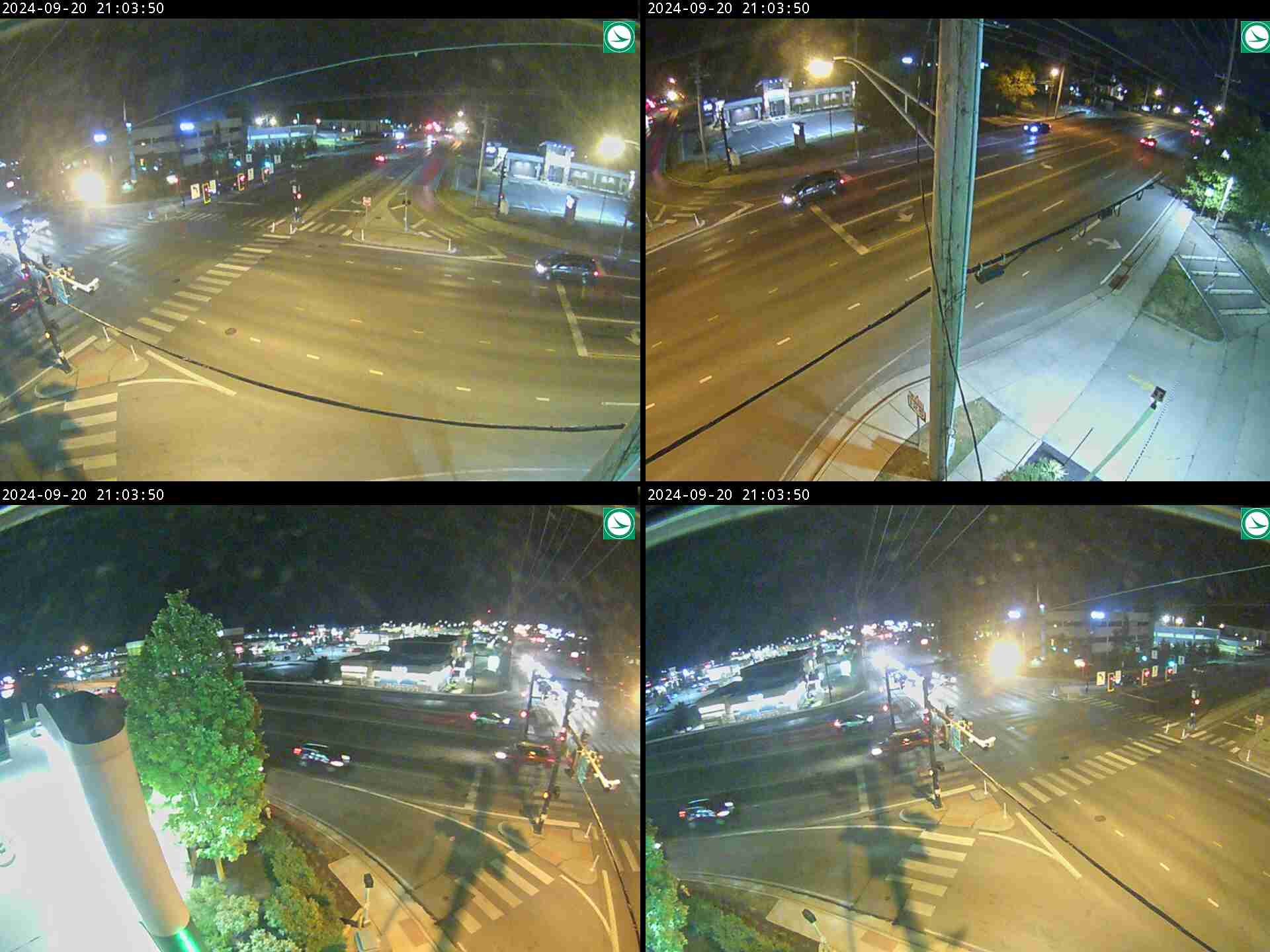
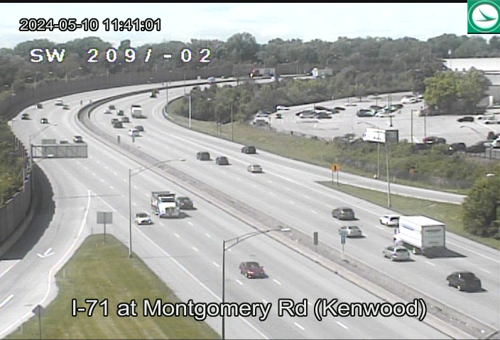
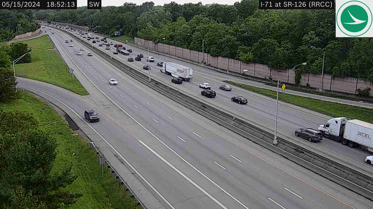
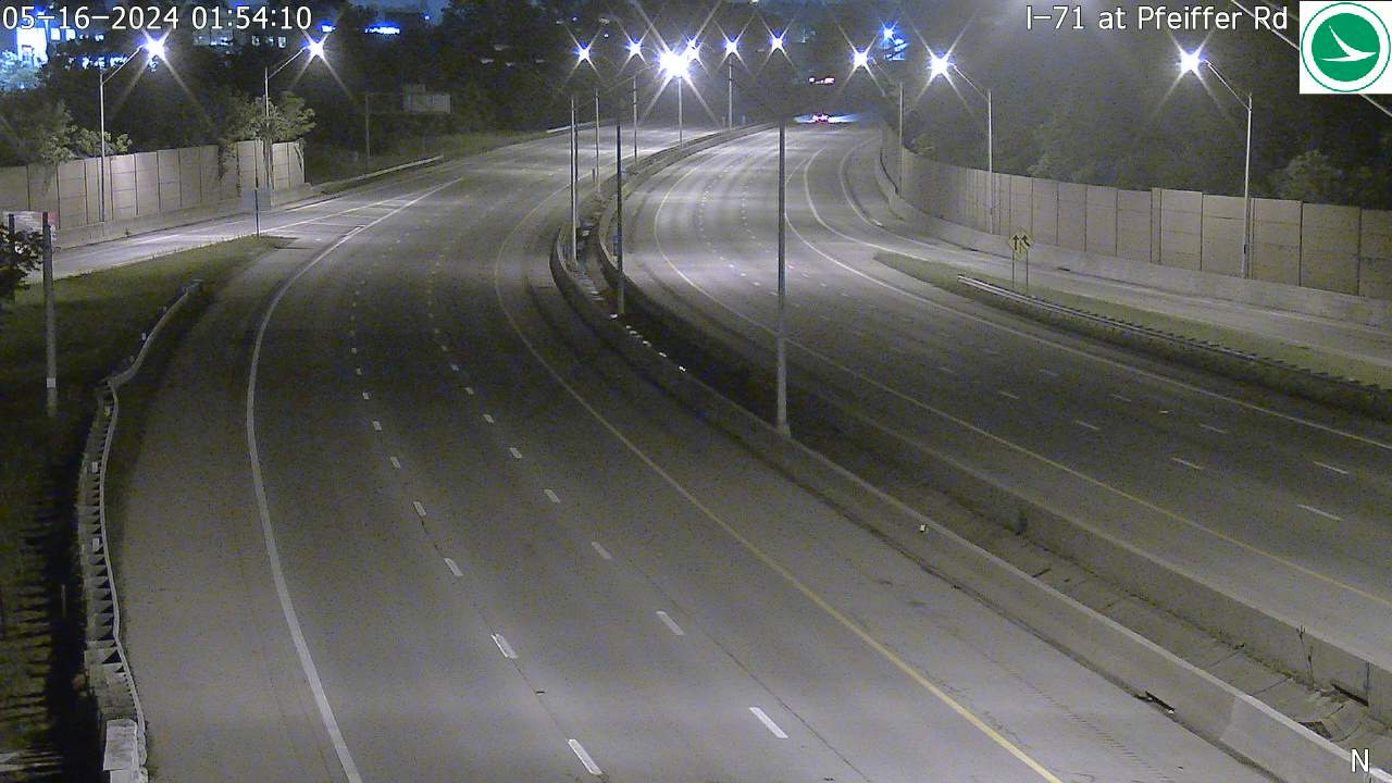
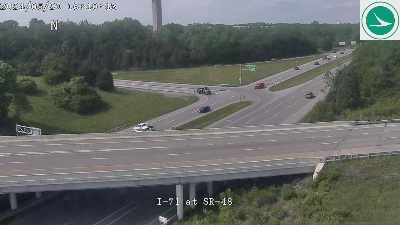
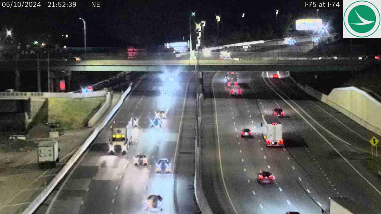
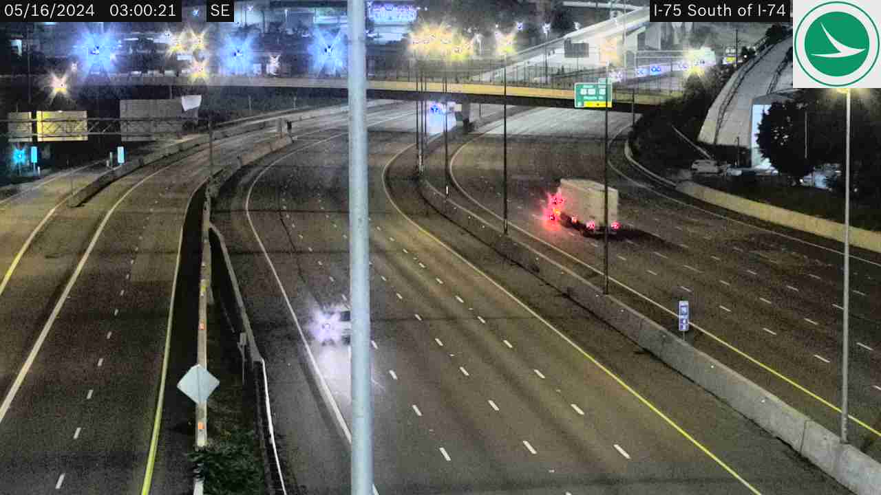
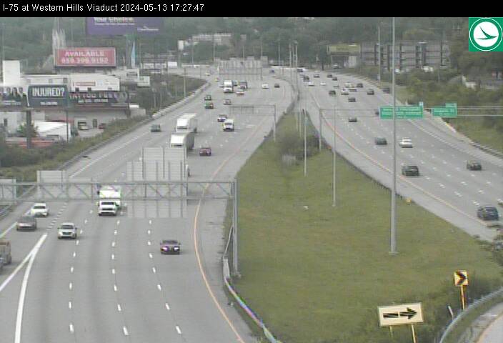
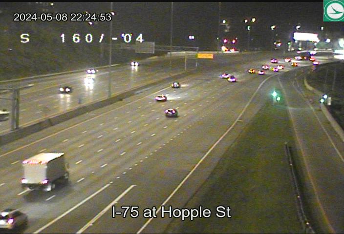
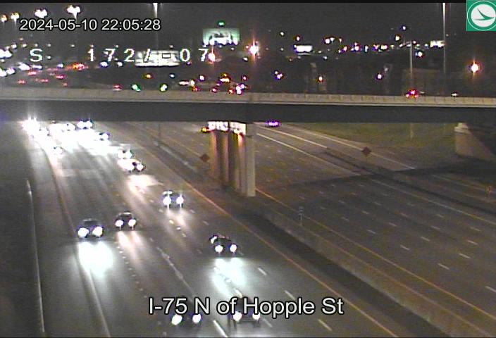
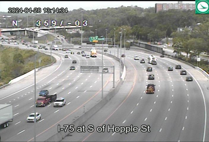
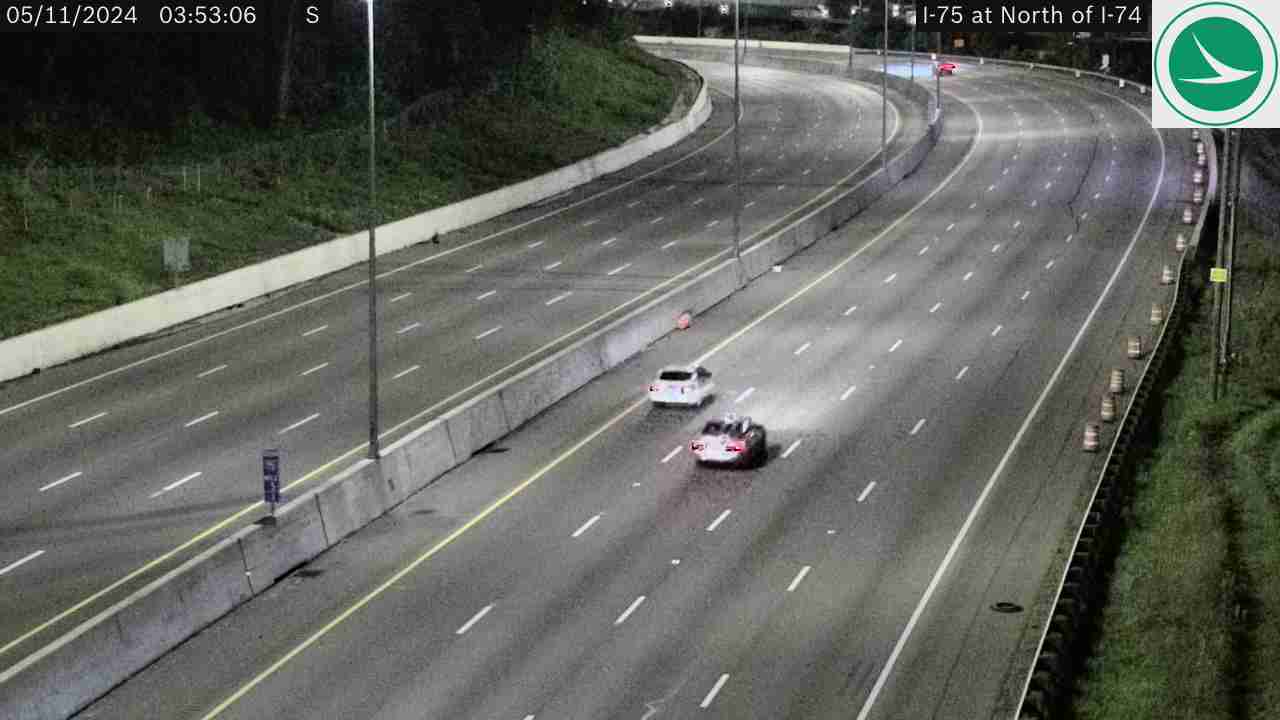
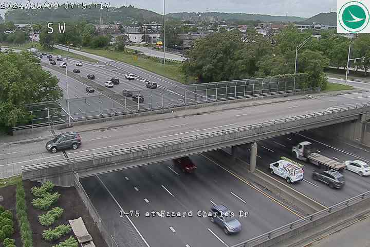
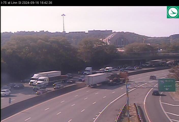
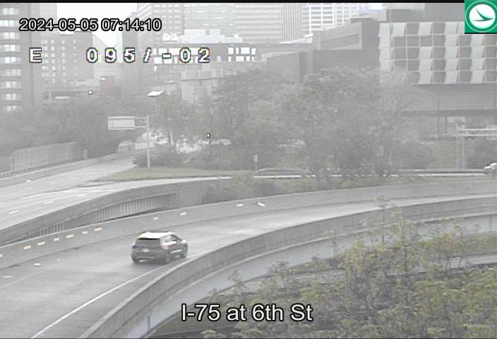
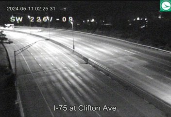
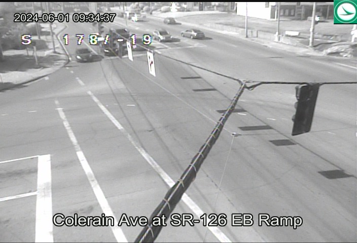
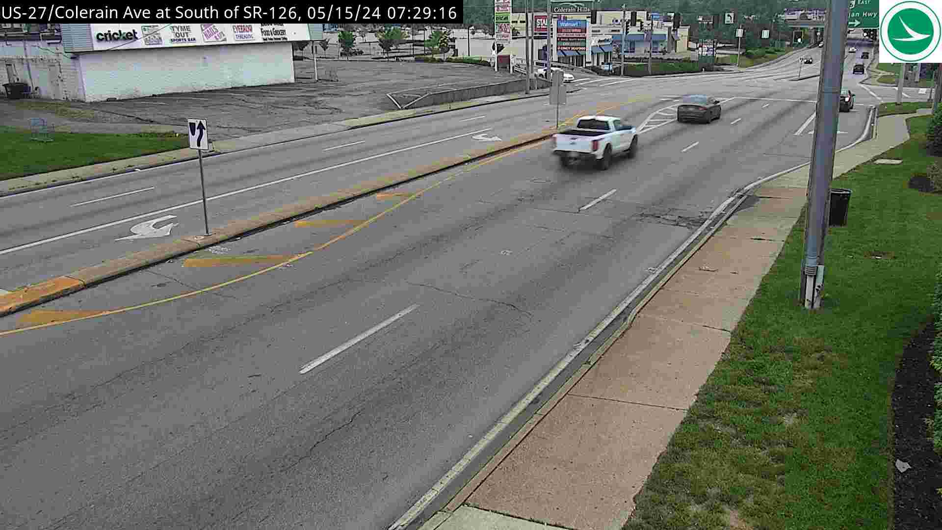
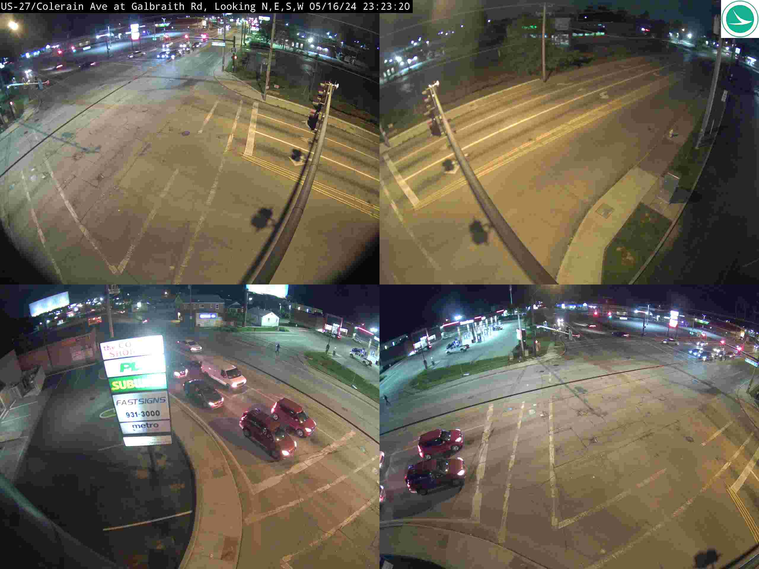
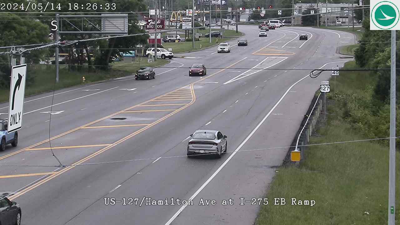
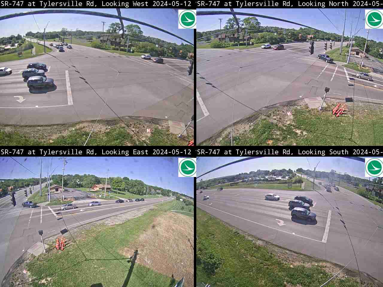
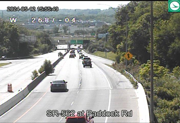
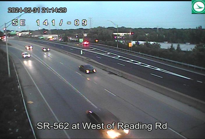
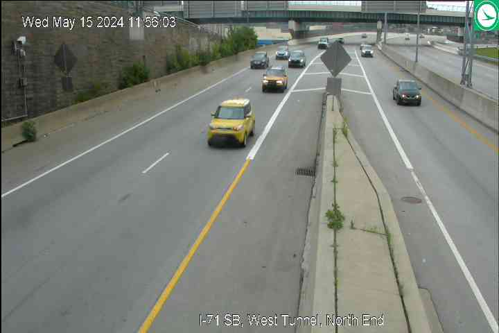
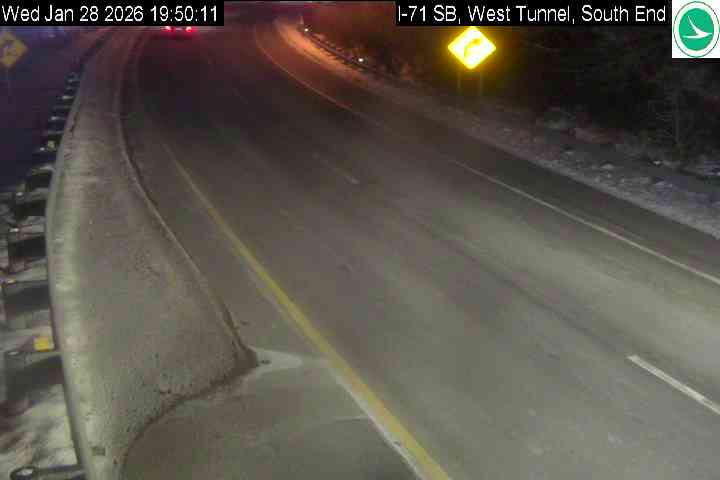
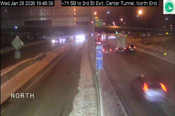
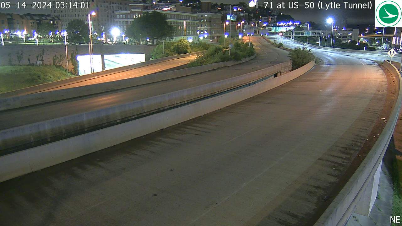
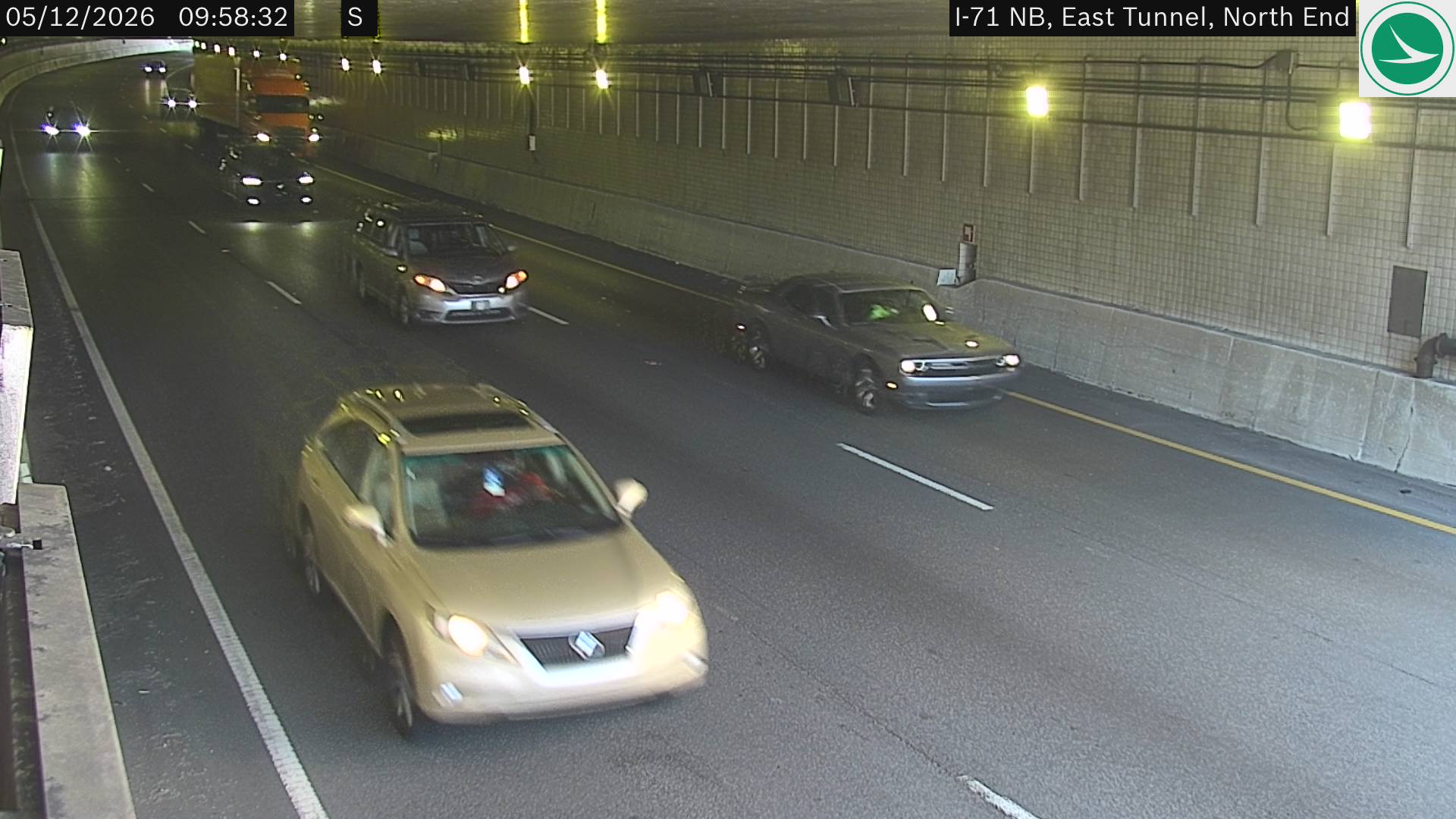
Live traffic camera feeds from ODOT across the Greater Cincinnati area. Images auto-refresh every 30 seconds. Click any camera for a larger view. Sections are ordered by proximity to Clermont County.
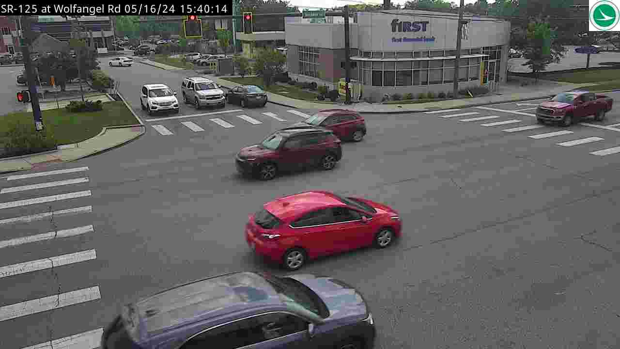
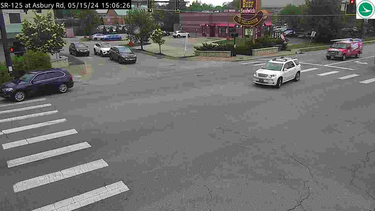
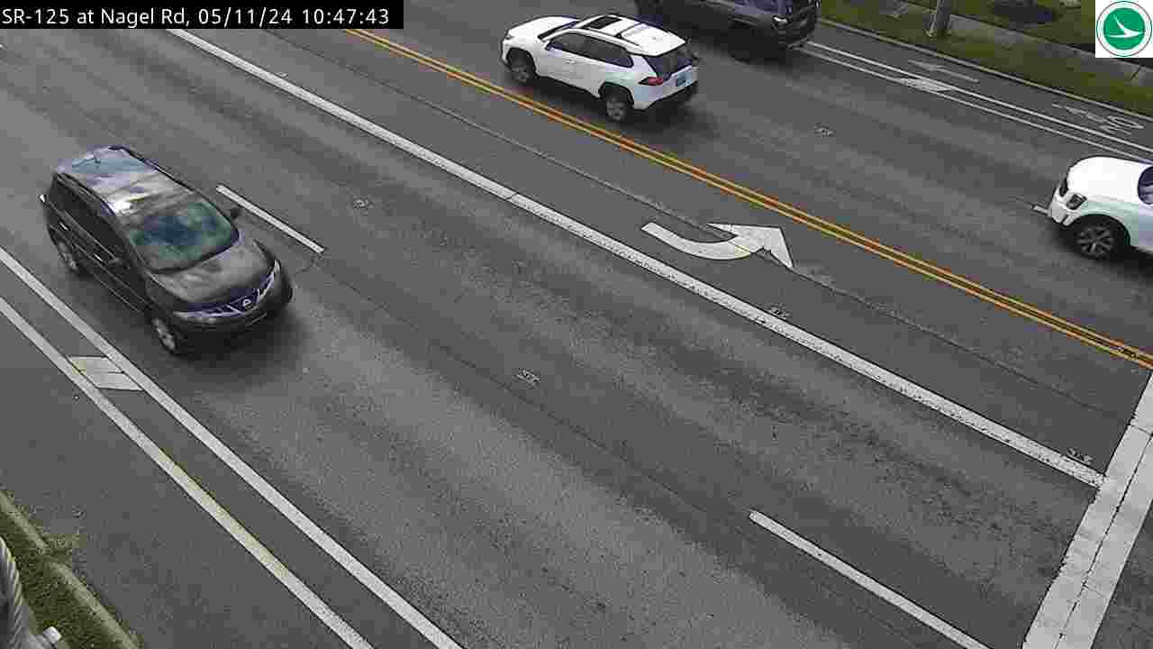
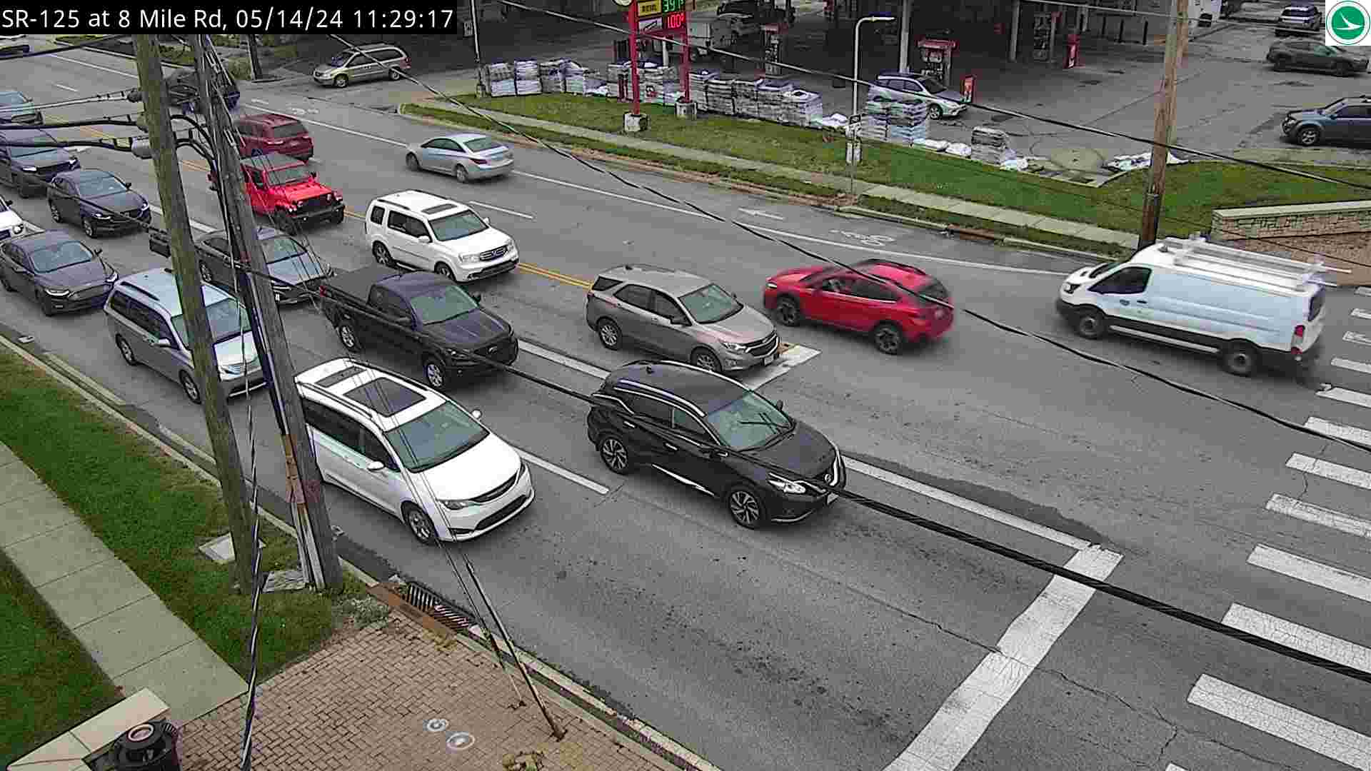
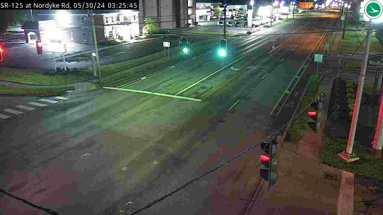
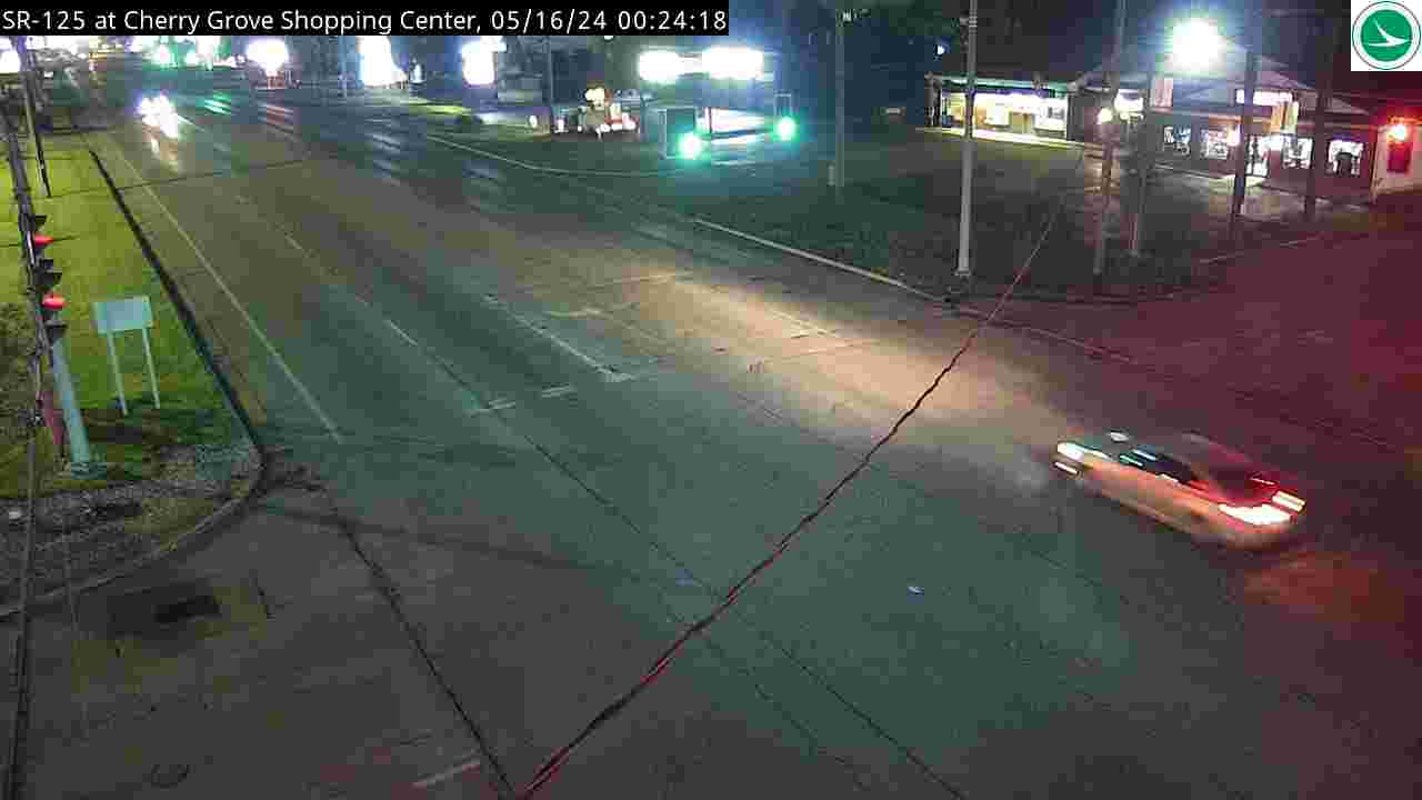
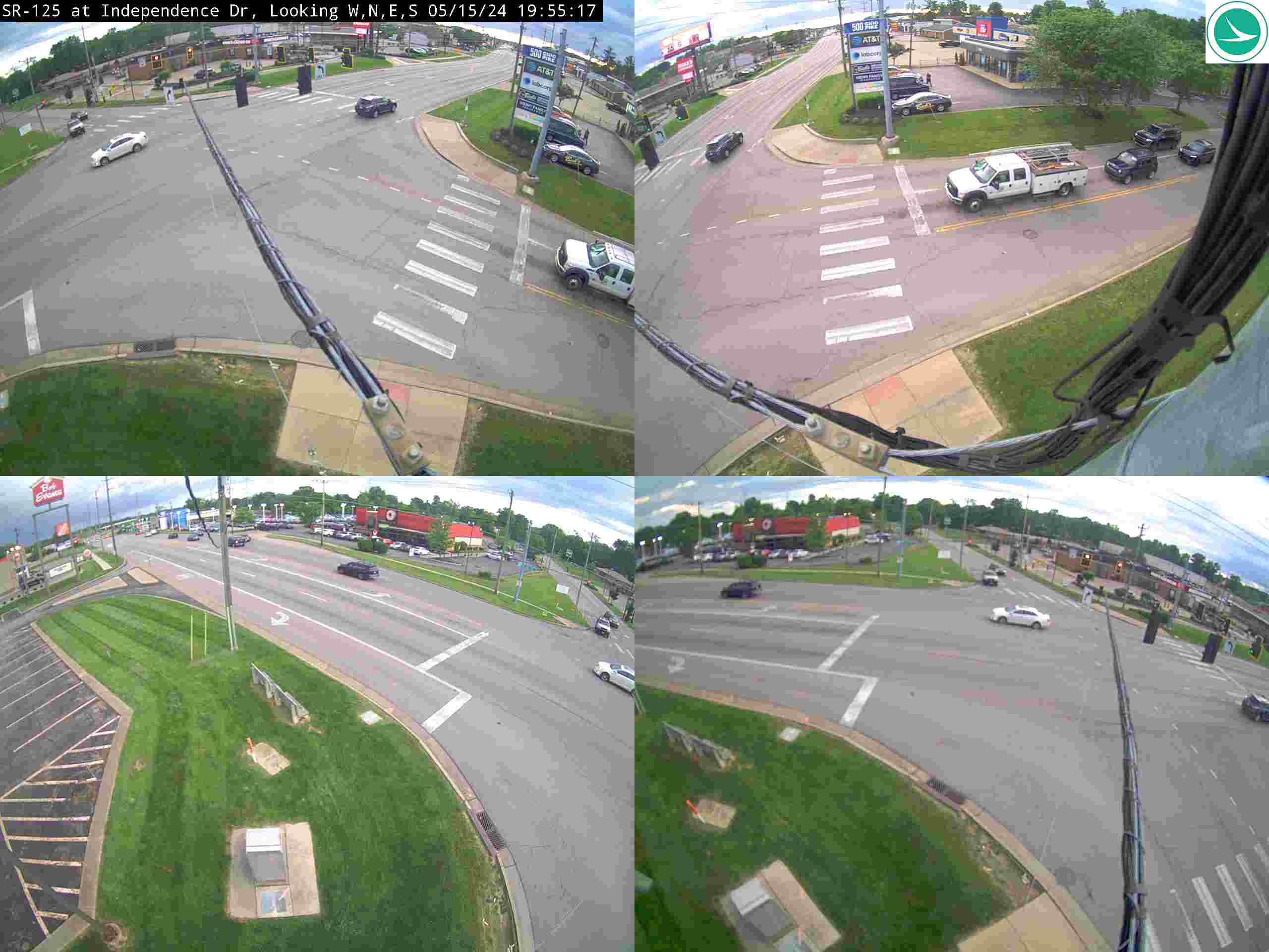
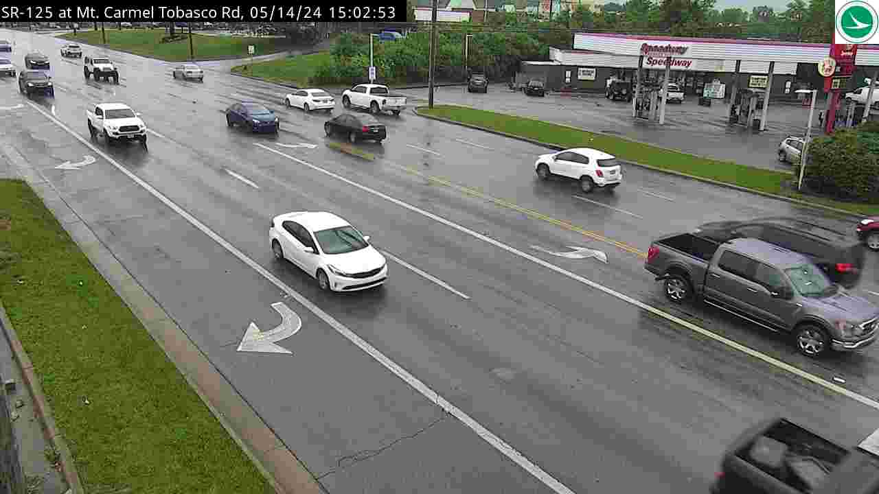
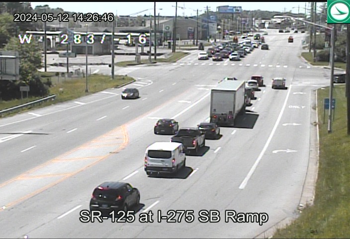
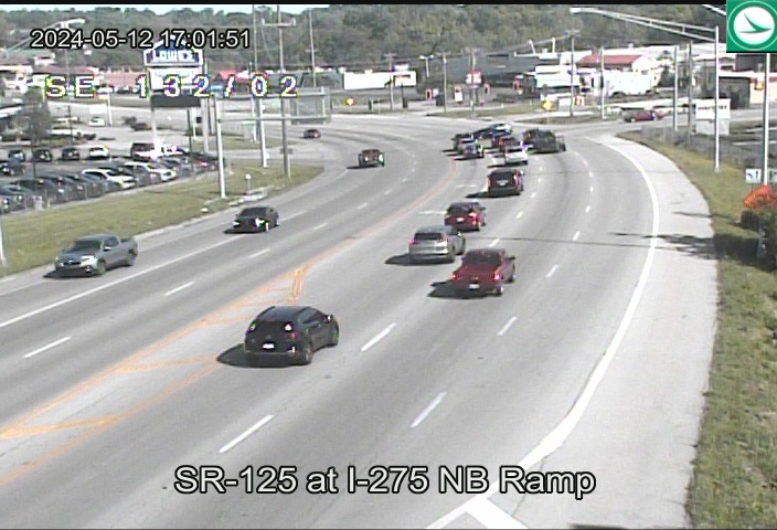
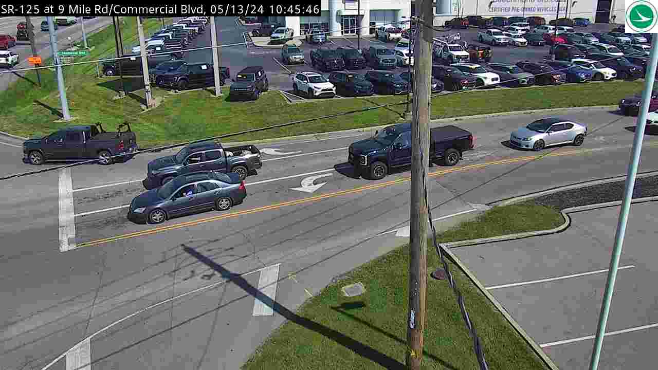
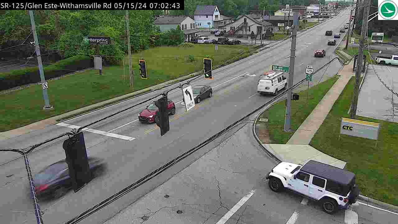
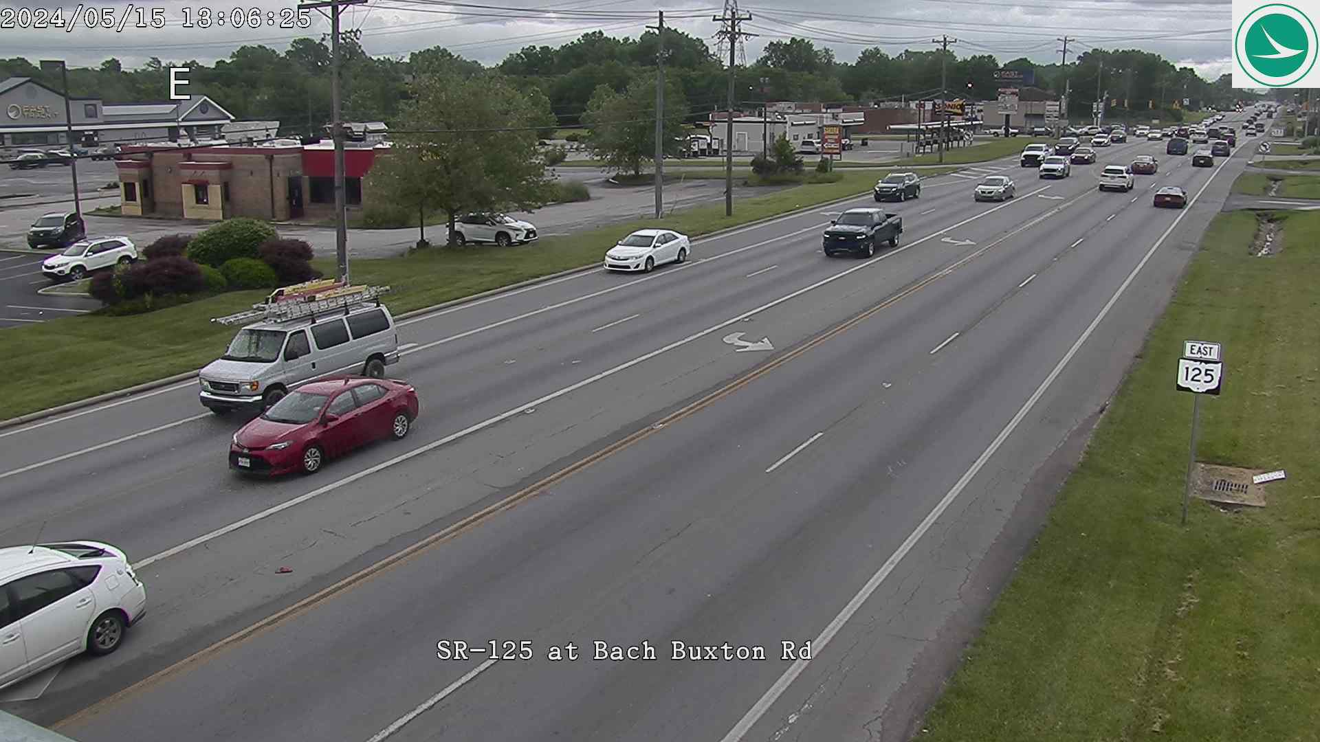
SR-125 (Beechmont Ave / Ohio Pike) (23 cameras) — Runs through Clermont County from Milford to the Anderson/Mt. Washington area
SR-125 at Five Mile RdSR-125 at Wolfangel RdSR-125 at Asbury RdSR-125 at Nagel Rd (South)SR-125 at Eight MileSR-125 at Nordyke Rd SR-125 at Cherry GroveSR-125 at Independence DrSR-125 at Mt. Carmel/Tobasco RdSR-125 at I-275 SB RampSR-125 at I-275 NB RampSR-125 at Nine Mile/Commercial BlvdSR-125 at Britton BlvdSR-125 at Brandychase WaySR-125 at Glen Este-Withamsville RdSR-125 at Bennett RdSR-125 at Merwin Ten Mile RdSR-125 at Waterford PkwySR-125 at Bach Buxton RdSR-125 at ThriftwaySR-125 at Amelia-Olive Branch RdSR-125 at Lori LnSR-125 at Glen Mary Dr
SR-32 (Eastgate Area) (2 cameras) — East-west corridor through eastern Clermont County
SR-32 at 8 Mile RdSR-32 at Bach Buxton
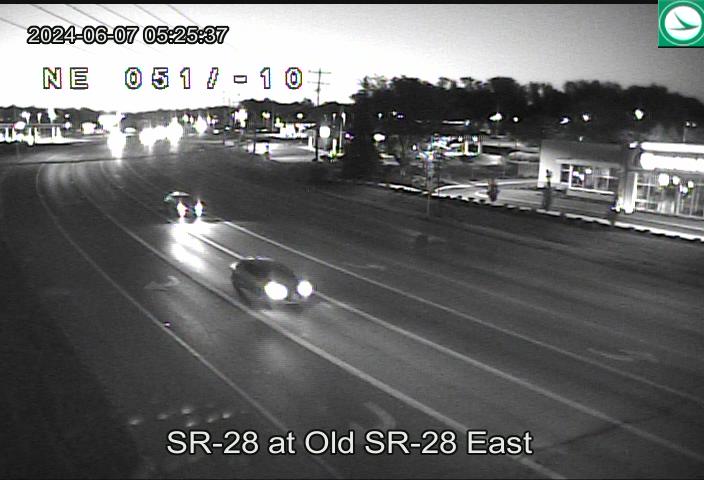
SR-28 (Blanchester Pike) (6 cameras) — Connects Clermont County north toward Warren County
SR-28 at McClelland RdSR-28 at I-275 NB RampSR-28 at Romar RdSR-28 at Old 28 EastSR-28 at Buckwheat RdSR-28 at SR-48
SR-131 / US-50 (Eastern Approaches) (4 cameras) — Routes approaching Clermont from the east and south
US-50 at Newtown RdUS-50 at Wolfpen Pleasant HillUS-50 at Roundbottom RdSR-131 at Wolfpen Pleasant Hill Rd
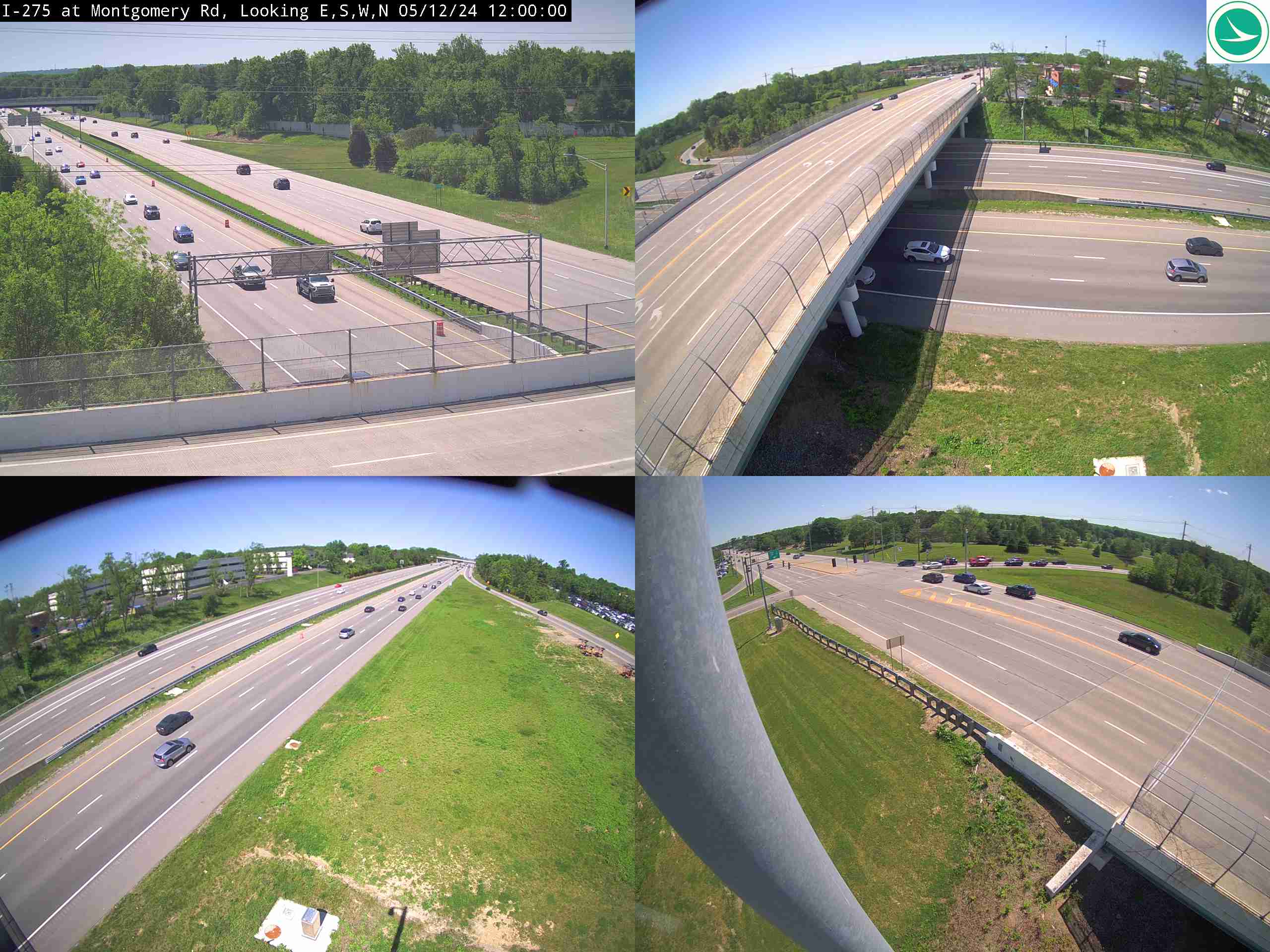
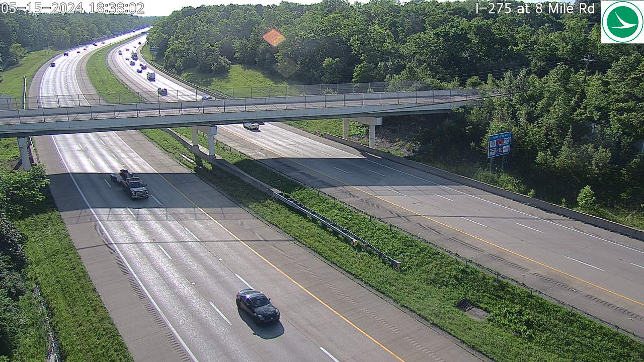
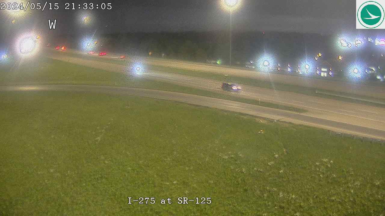
I-275 (Eastern Loop) (18 cameras) — The stretch of I-275 closest to Clermont County
I-275 at MM 49.5, East of I-71I-275 at MM 49.8, W of Montgomery RdI-275 EB Ramp at Montgomery RdI-275 at MM 50.1, Montgomery RdI-275 at MM 50.7, E of Weller RdI-275 at Eight Mile RdI-275 at MM 51.0, W of Weil RdI-275 at MM 51.2, Weil RdI-275 at MM 52.0, Hopewell RdI-275 at MM 52.4, W of Loveland Madeira RdI-275 at SR-125I-275 at E of Loveland-Madeira RdI-275 at SR-32I-275 at Wards Corner RdI-275 at Barg Salt Run RdI-275 at Price Rd/Loveland-Milford RdI-275 at SR-131I-275 at North of SR-28
I-275 (Western & Northern Loop) (18 cameras) — I-275 through the west and north sides of the metro
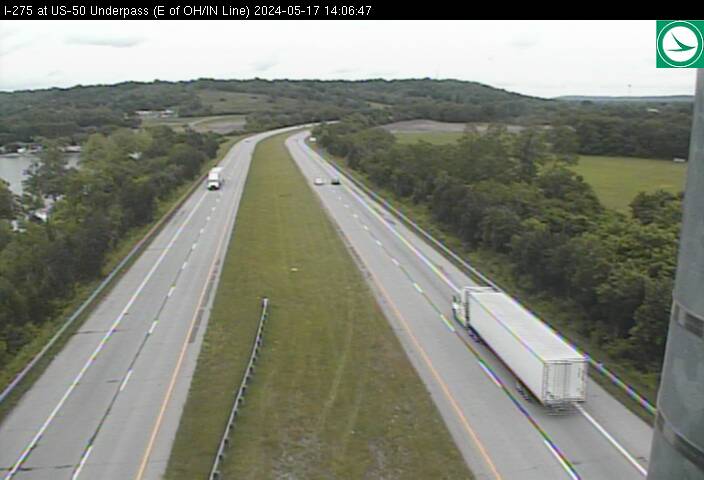
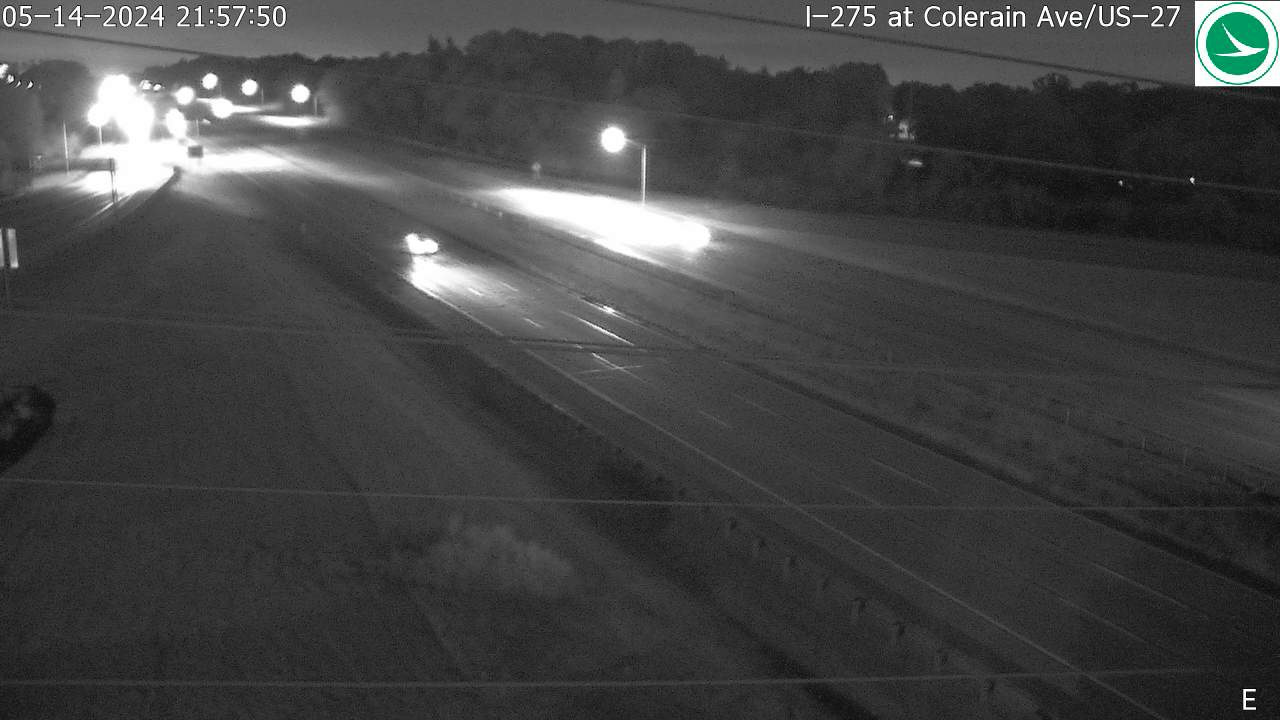
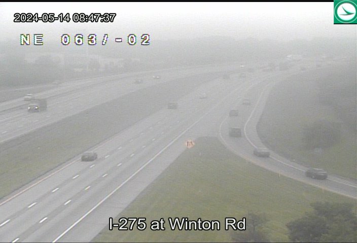
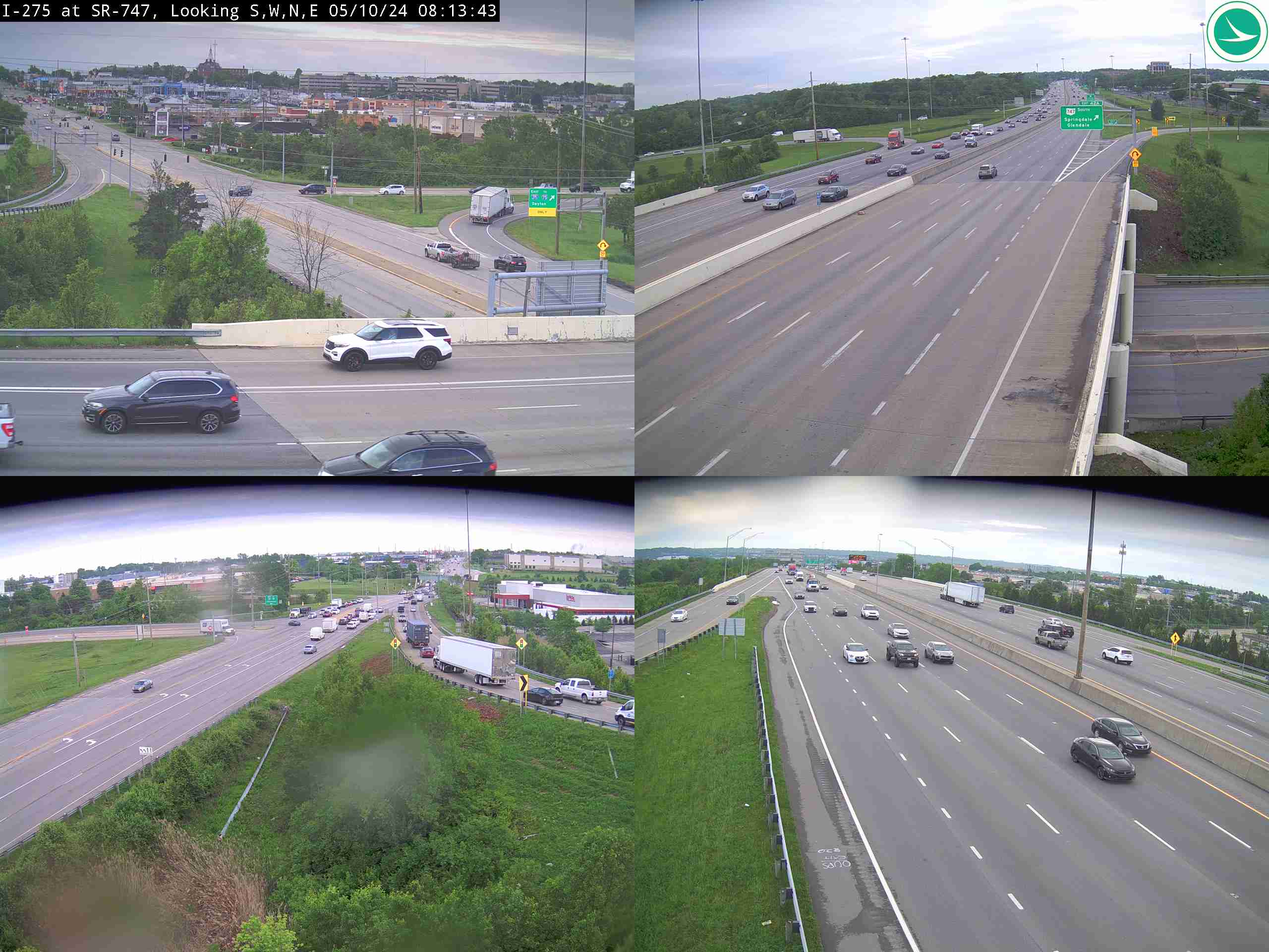
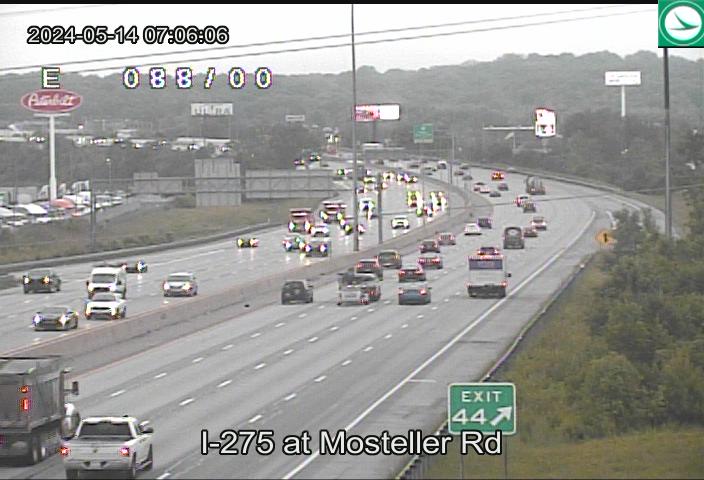
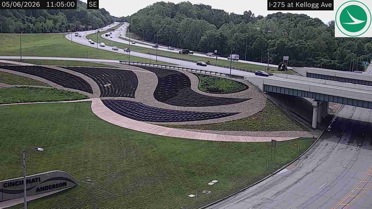
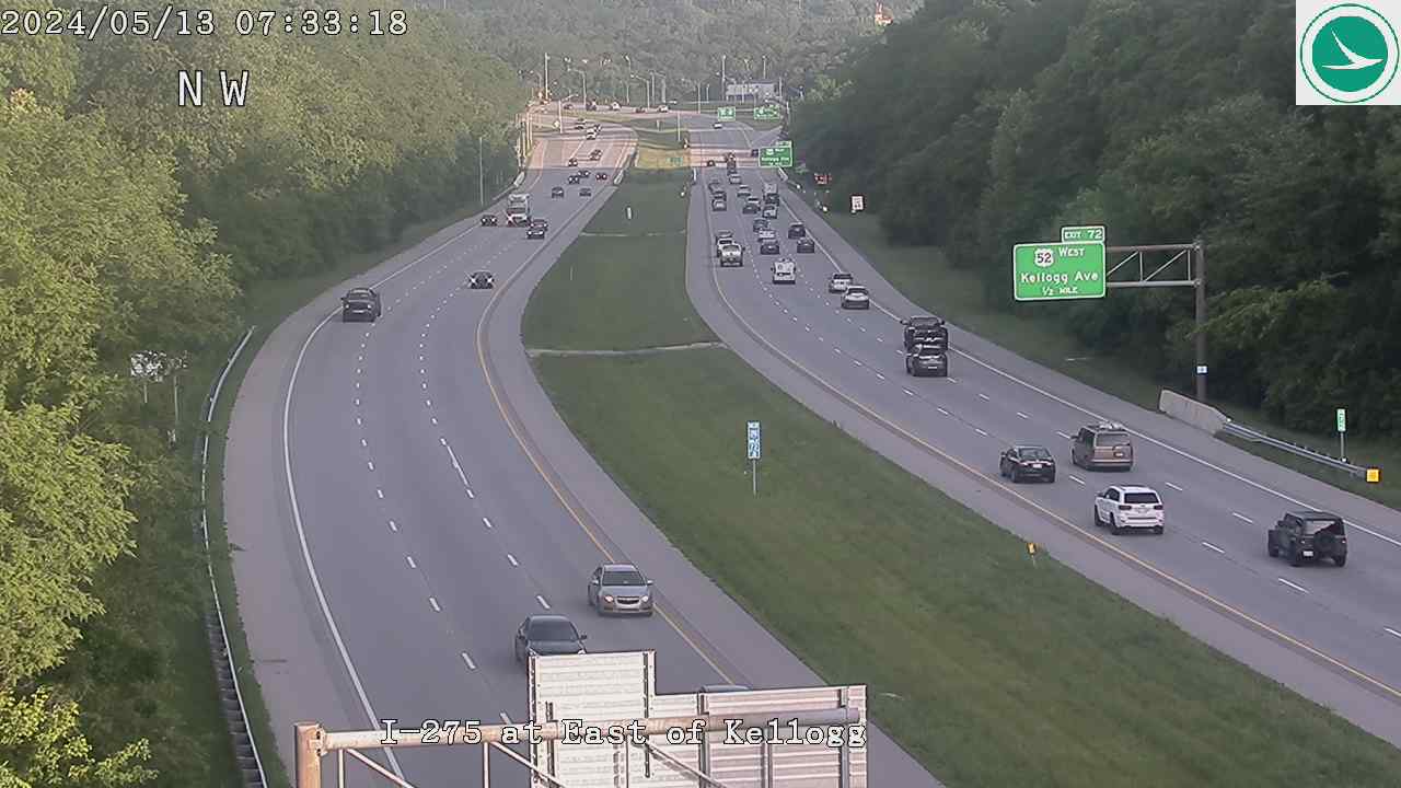
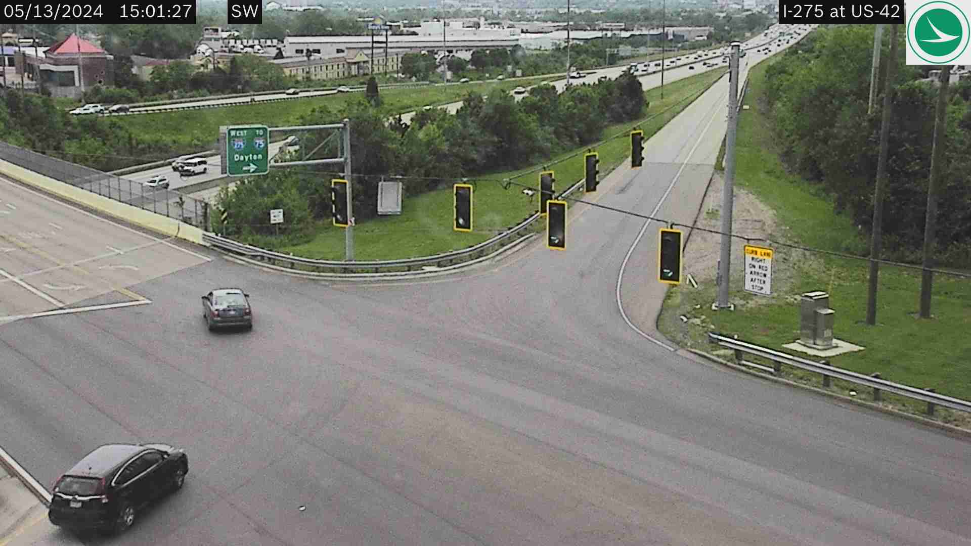
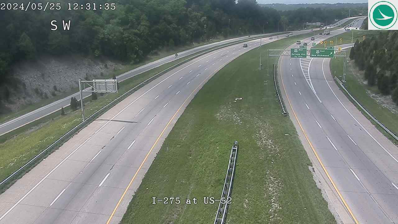
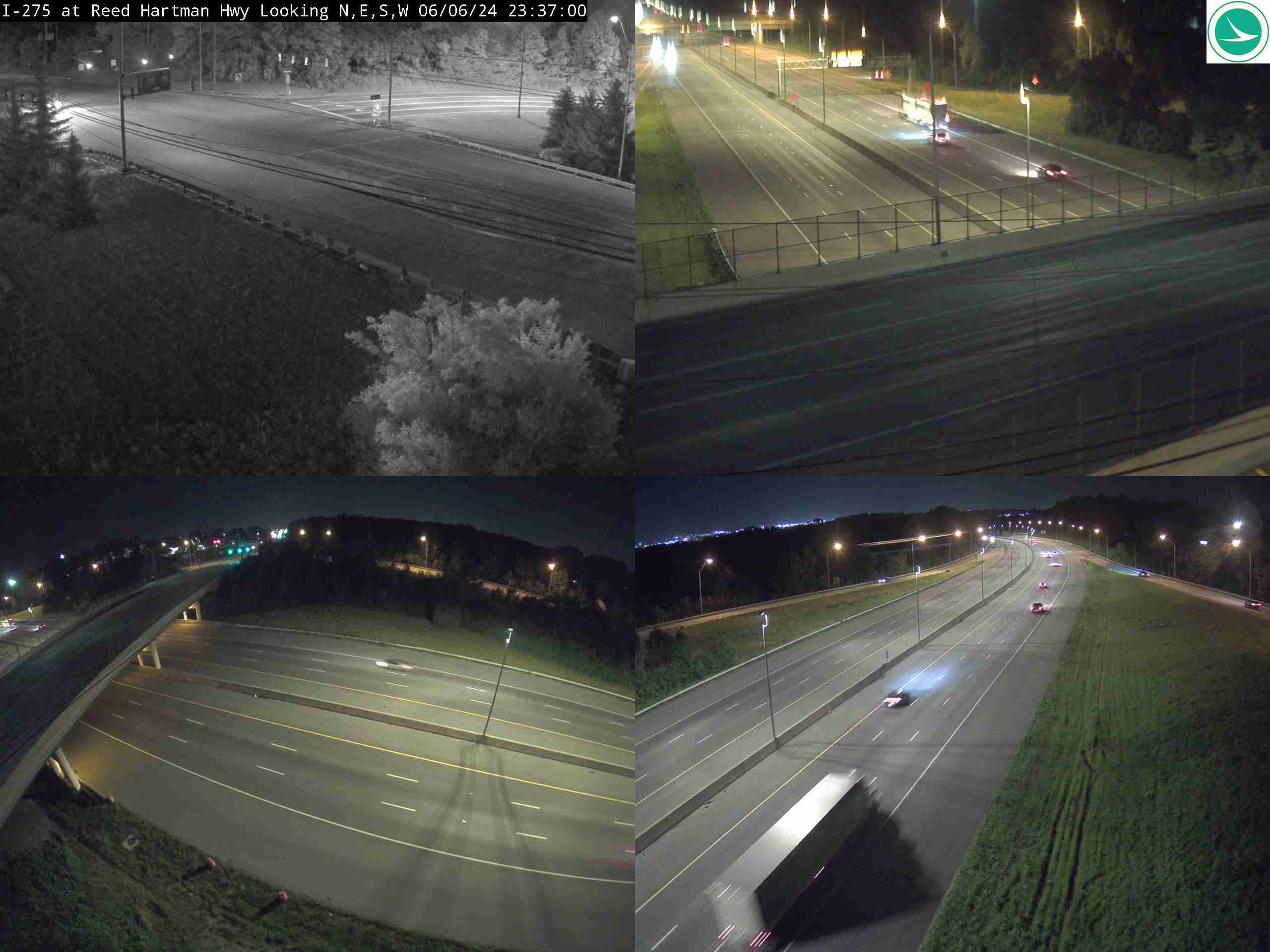
I-275 at US-50, Exit 16, IndianaI-275 at US-50 Underpass (E of OH/IN Line)I-275 at RRCC HwyI-275 at Brehm RdI-275 at Colerain Ave / US-27I-275 at Hamilton Ave / US-127I-275 at Winton RdI-275 at SR-4 (East)I-275 at SR-747I-275 at Mosteller RdI-275 at Kellogg AveI-275 at East of Kellogg AveI-275 at US-42I-275 at US-52I-275 at MM 47.7, Reed Hartman HighwayI-275 at MM 48.1, Kemper RdI-275 at MM 48.7, West of I-71I-275 at Five Mile Rd
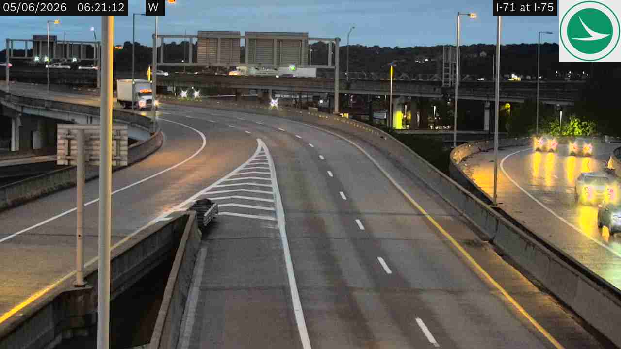
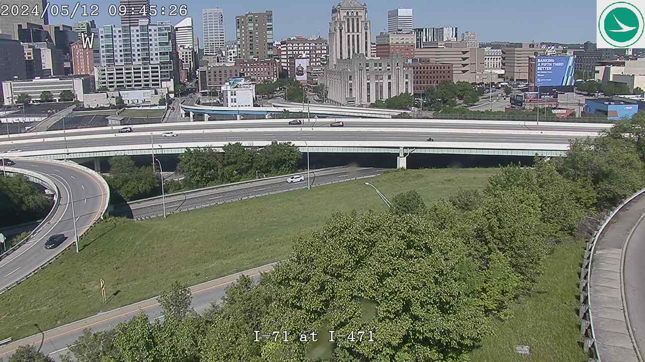
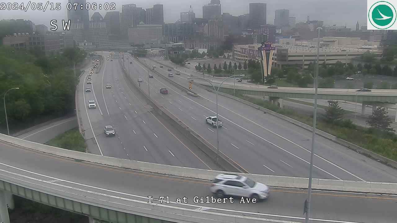
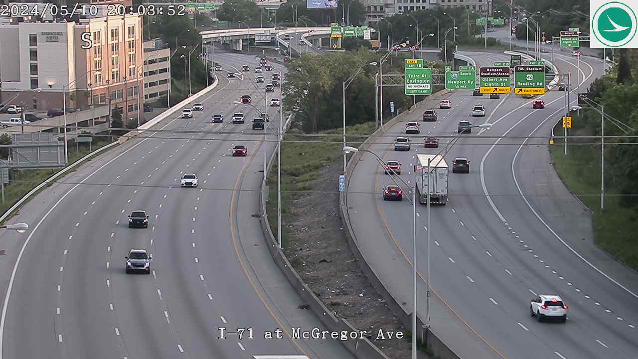
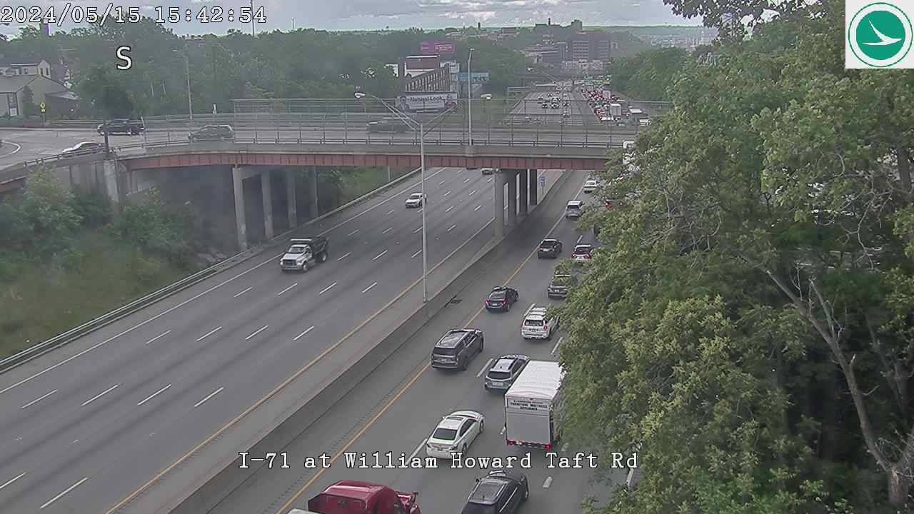
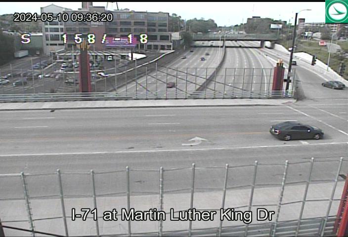
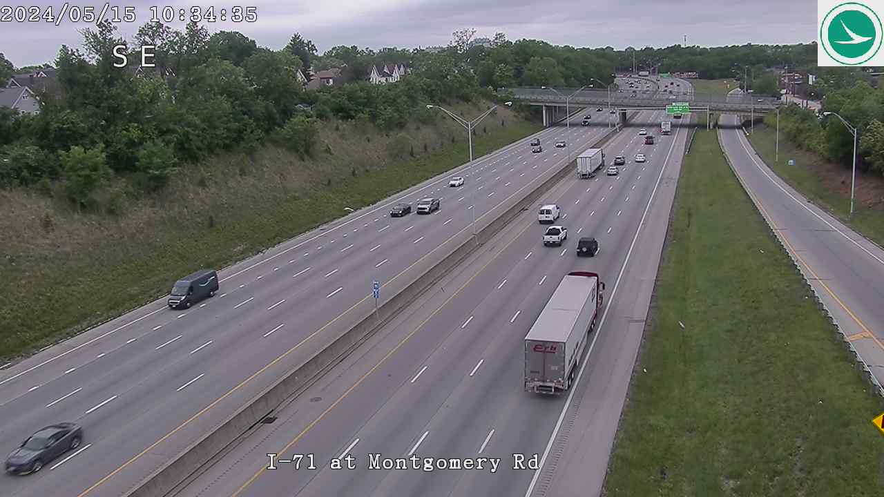
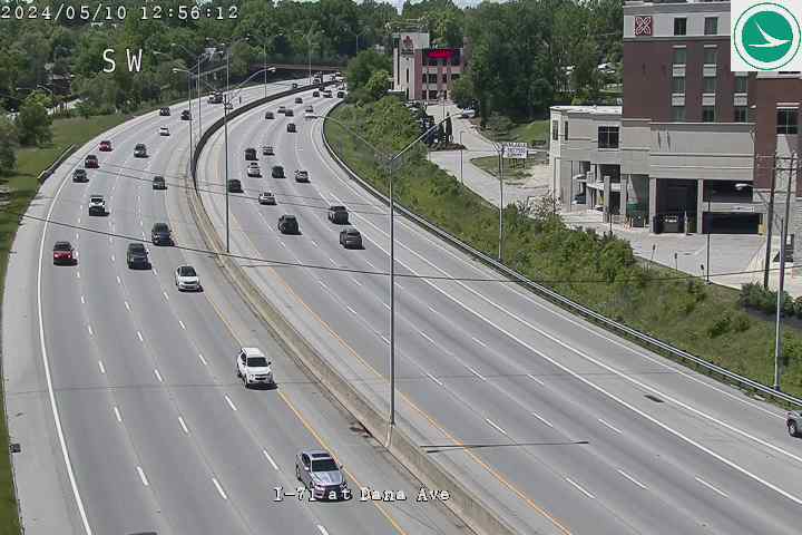
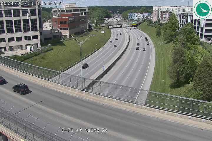
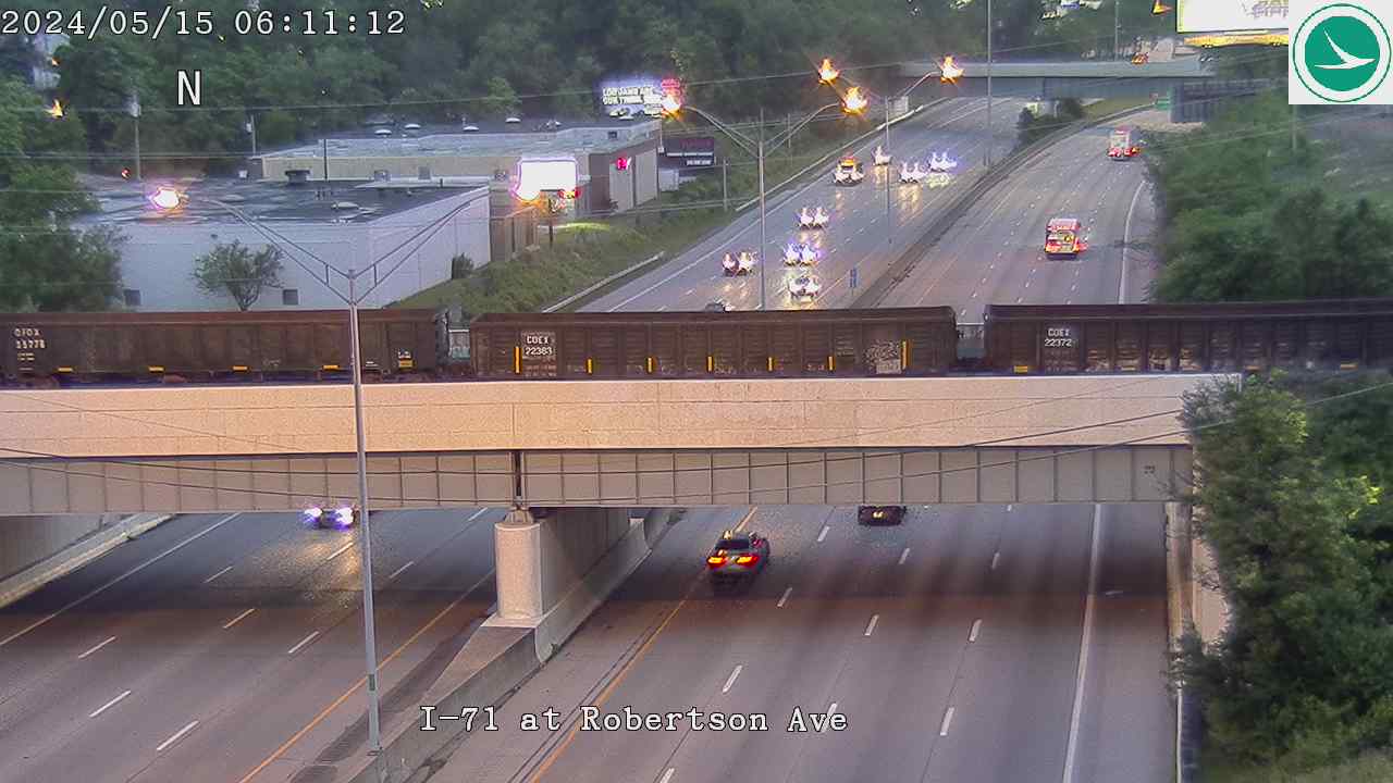
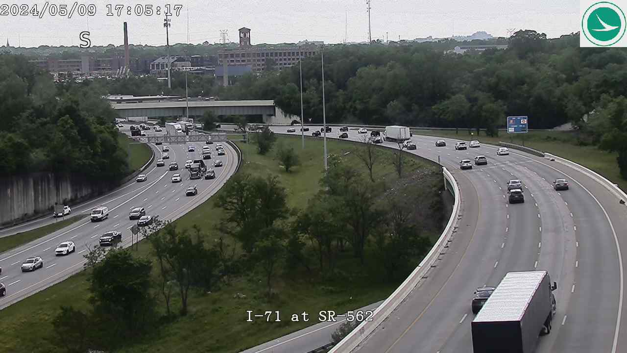
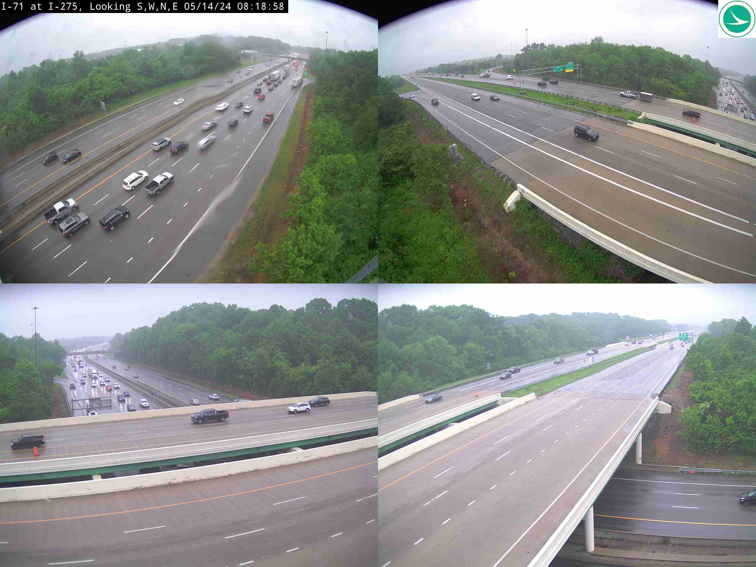
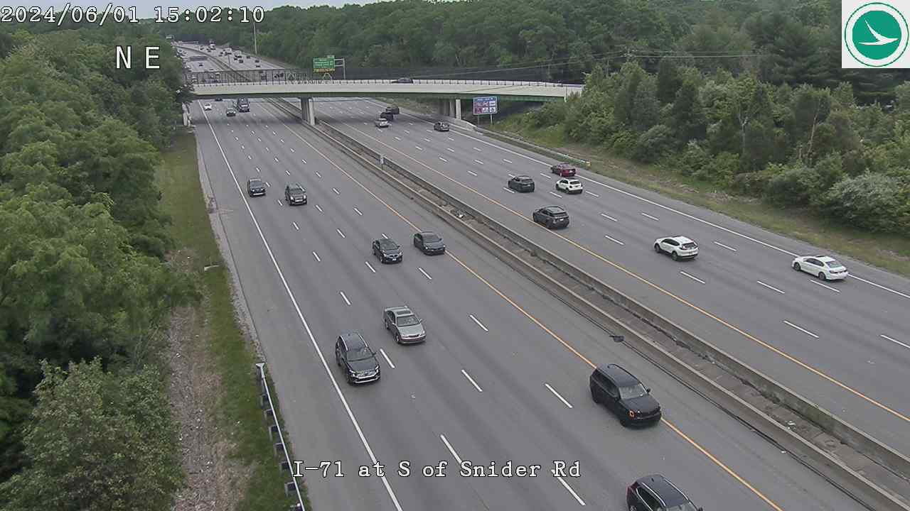
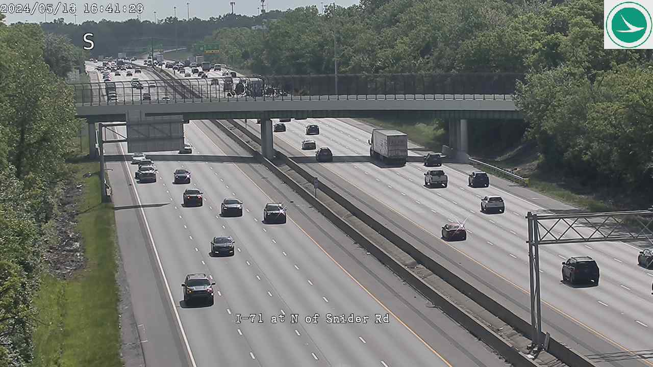
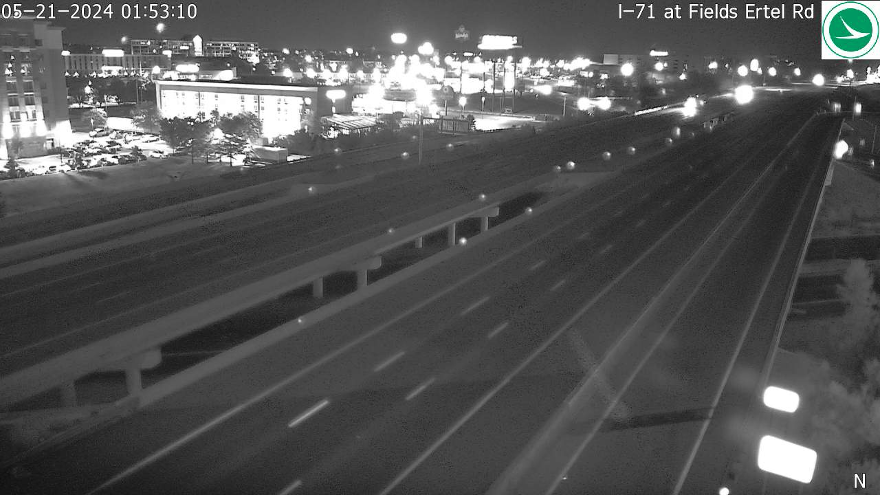
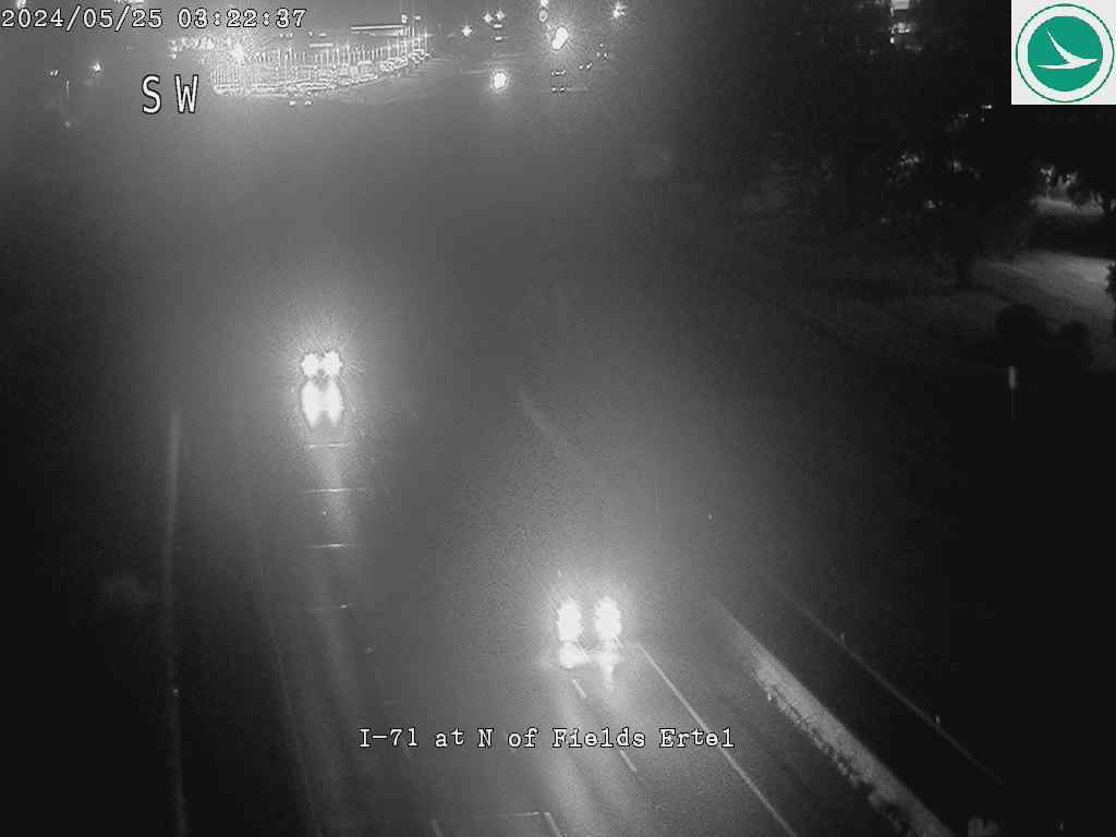
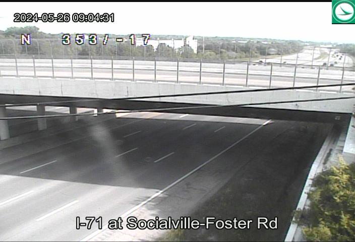
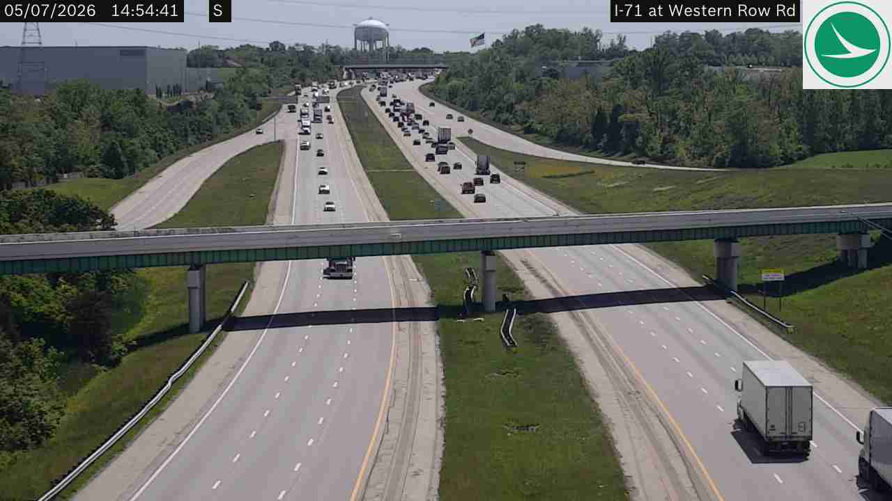
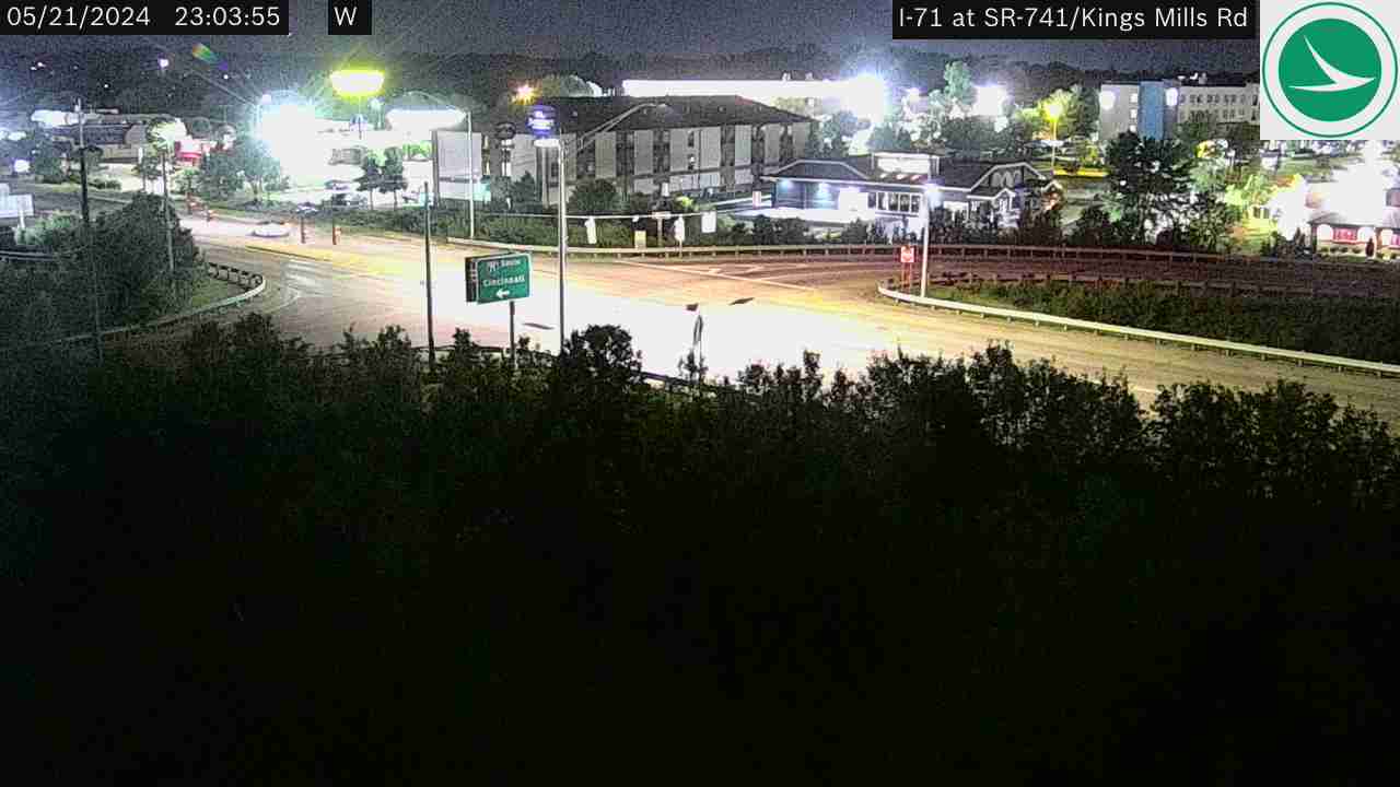
I-71 (North-South Corridor) (34 cameras) — Major interstate connecting Cincinnati to Columbus
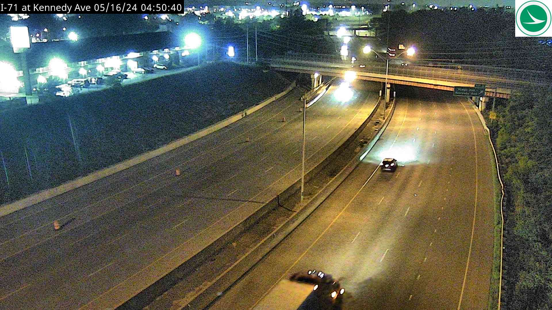
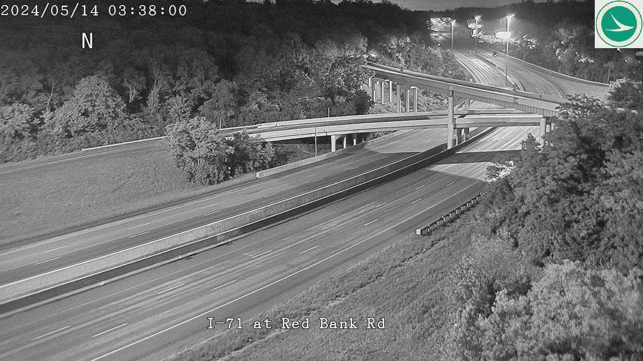
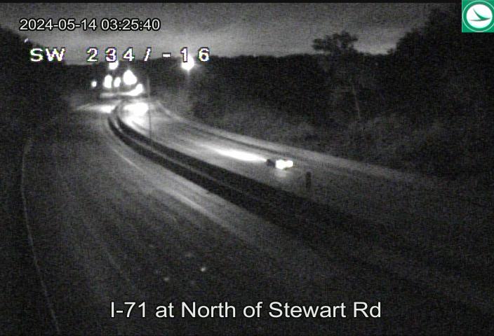
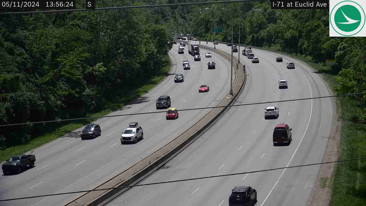
I-71 at I-75I-71 at I-471 (Van Meter St)I-71 at Casino, Gilbert AveI-71 at McGregor AveI-71 at William Howard Taft RdI-71 at Martin Luther King DrI-71 at N of Victory ParkwayI-71 at Montgomery RdI-71 at South of Dana AveI-71 at Dana AveI-71 at Smith RdI-71 at Robertson AveI-71 at SR-562 (Norwood Lateral)I-71 at Ridge AveI-71 at Kennedy AveI-71 at Red Bank RdI-71 at North of Stewart RdI-71 at Euclid AveI-71 at Montgomery Rd (Kenwood)I-71 at North of Kugler Mill RdI-71 at North of SR-126I-71 at SR-126 (RRCC)I-71 at Pfeiffer RdI-71 at Deerfield RdI-71 at I-275I-71 at S of Snider RdI-71 at N of Snider RdI-71 at Mason-Montgomery/Fields Ertel RdI-71 at N of Fields Ertel RdI-71 at Socialville-Foster RdI-71 at Western Row RdI-71 at SR-741/Kings Mills RdI-71 at SR-48I-71 at SR-123
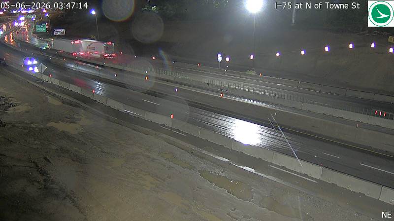
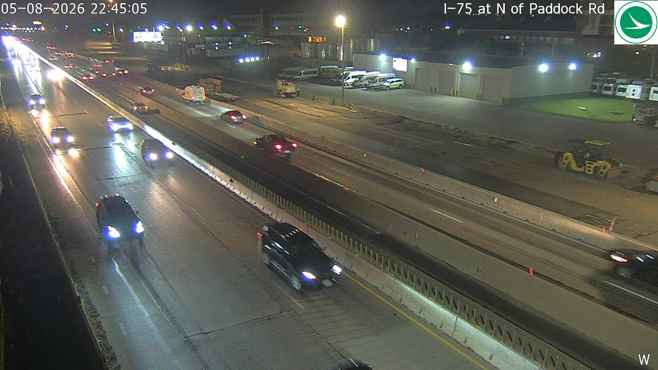
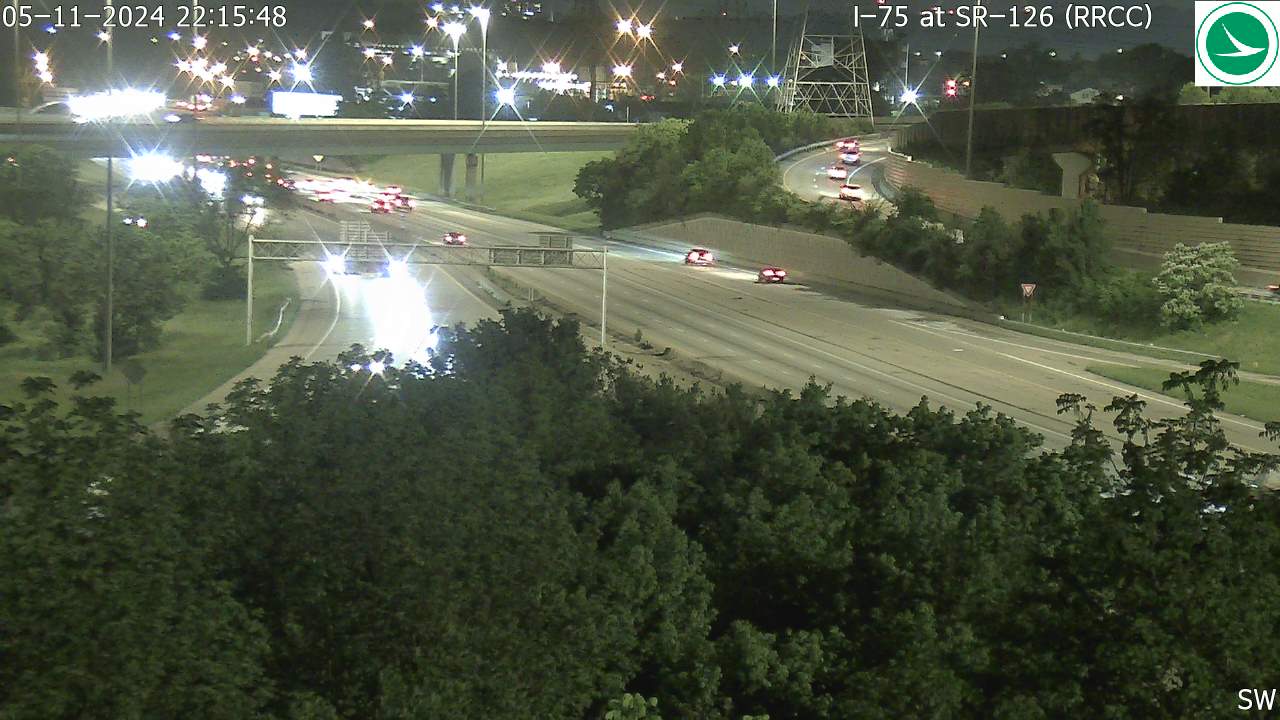
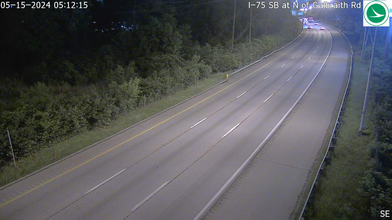
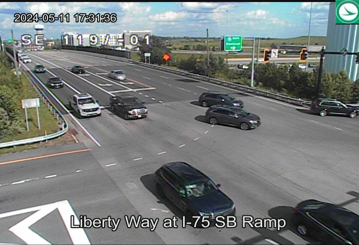
I-75 (Western Corridor) (36 cameras) — Major interstate through the west side of the metro
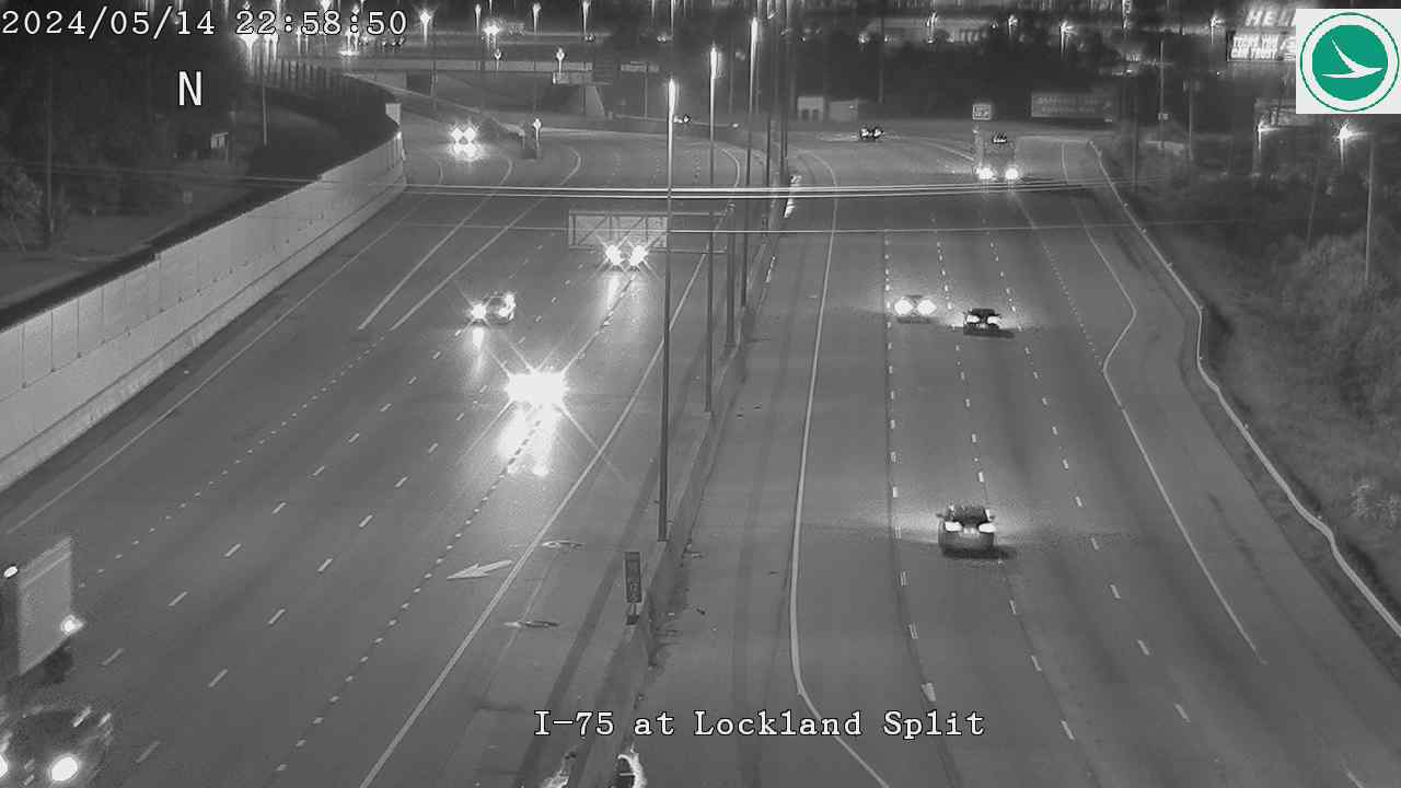
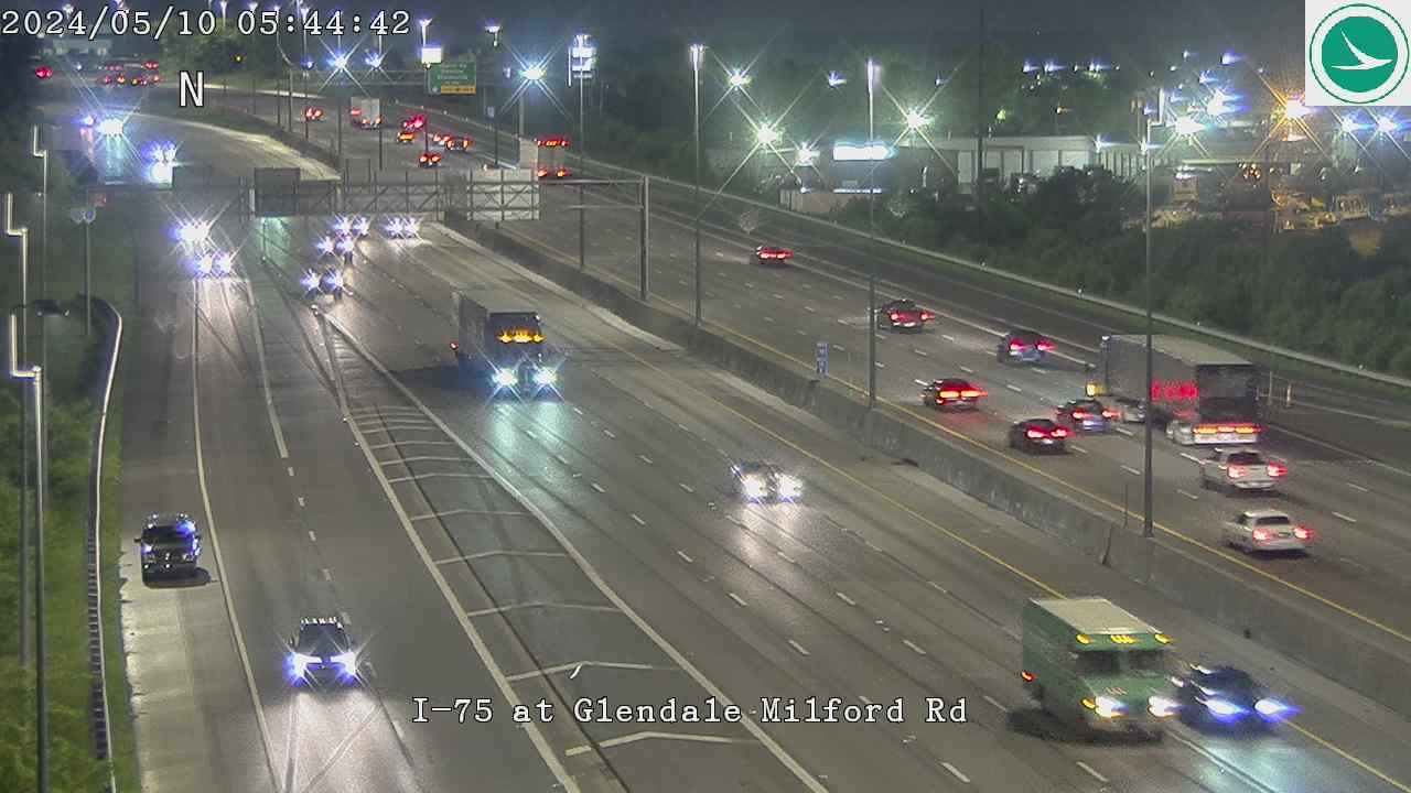
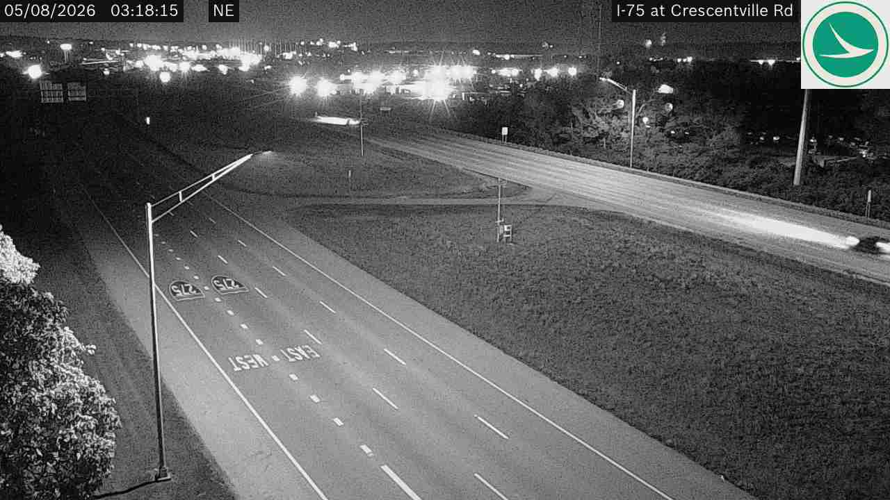
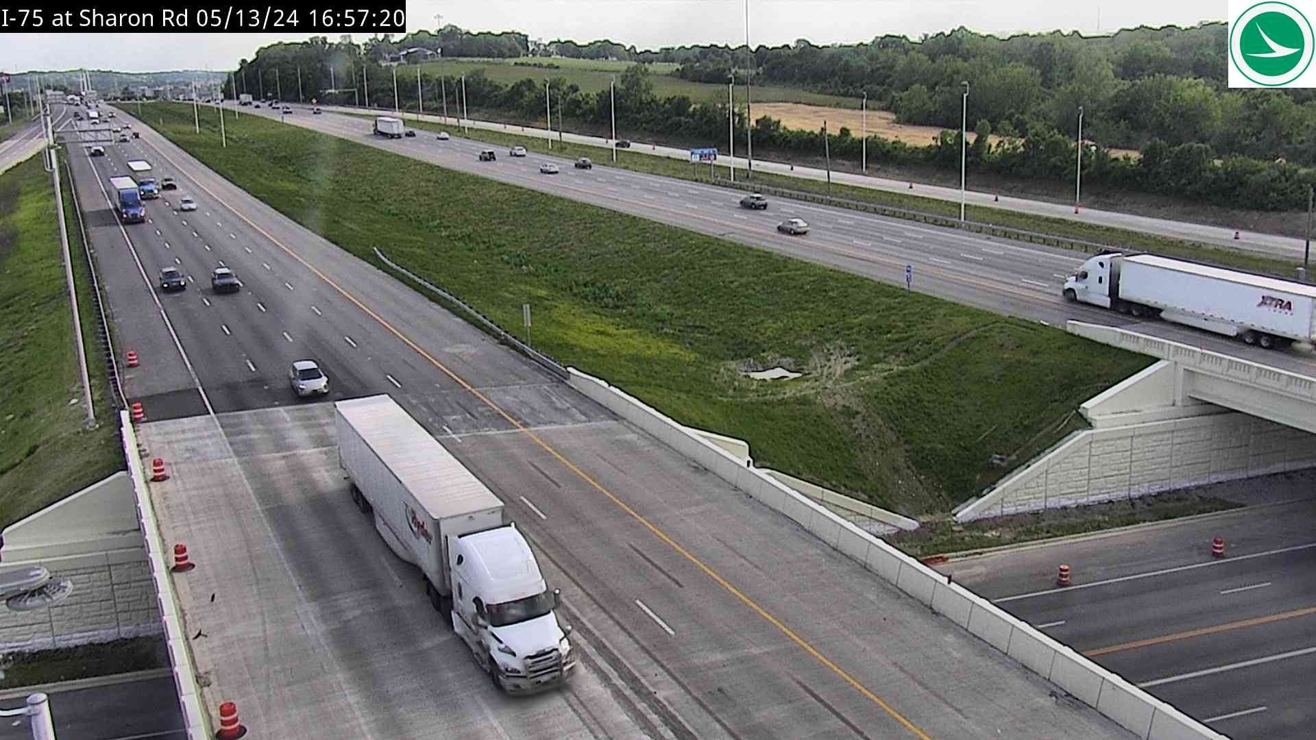
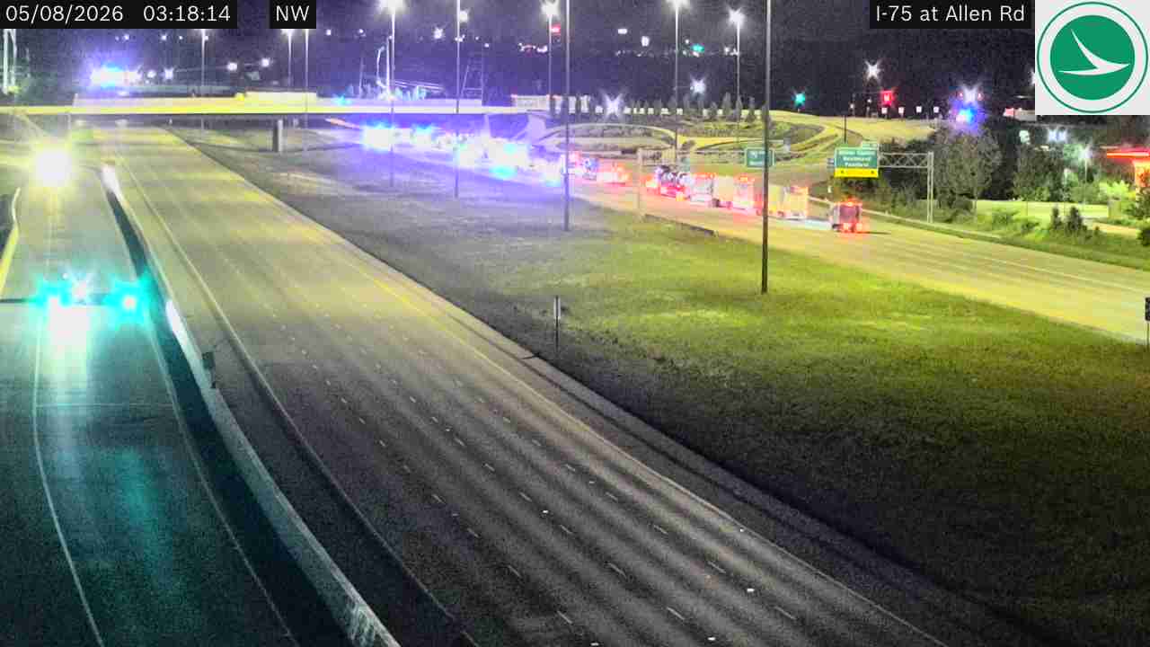
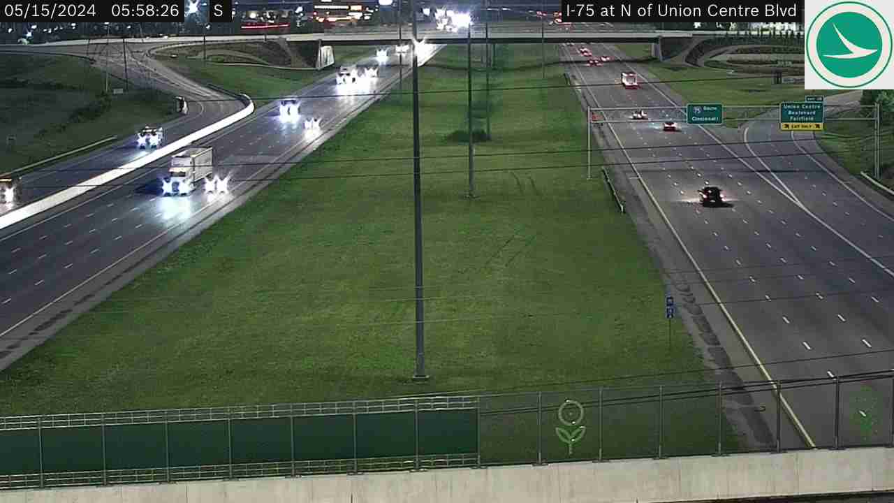
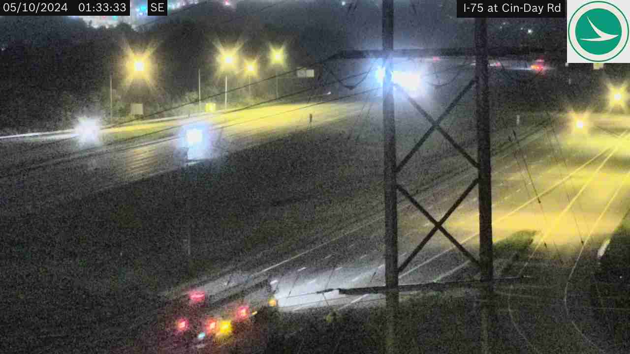
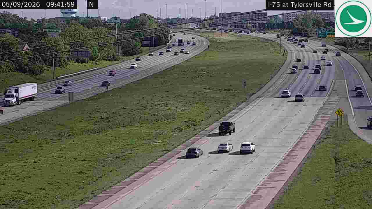
I-75 at I-74I-75 at South of I-74I-75 at Western Hills ViaductI-75 at Hopple StI-75 at N of Hopple StI-75 at S of Hopple StI-75 at North of I-74I-75 at Ezzard Charles DrI-75 at Linn StI-75 at 6th StI-75 at 3rd StI-75 at Clifton AveI-75 at Mitchell AveI-75 at North of Mitchell AveI-75 at Vine StI-75 at SR-562, Looking SouthI-75 at SR-562 (Norwood Lateral)I-75 at SR-562, Looking NorthI-75 at N of Towne StI-75 at N of Paddock RdI-75 at SR-126 (RRCC)I-75 SB at N of Galbraith RdI-75 at Shepherd LnI-75 at Vision WayI-75 at Lockland SplitI-75 NB at Davis StI-75 at Glendale Milford RdI-75 at I-275 (N)I-75 at Crescentville RdI-75 at Sharon RdI-75 at Allen RdI-75 at N of Union Centre BlvdI-75 at Cin-Day RdI-75 at Tylersville RdI-75 at Liberty Way, SR-129I-75 at Kyle Station Rd
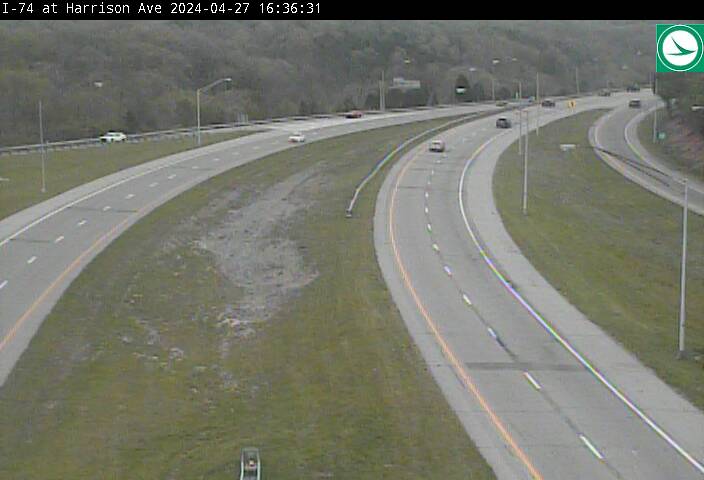
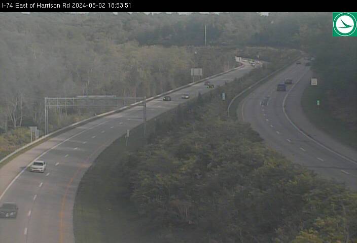
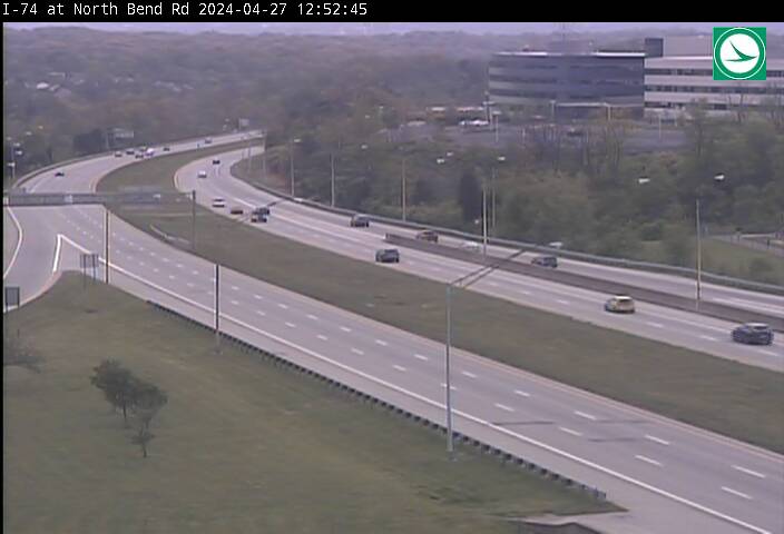
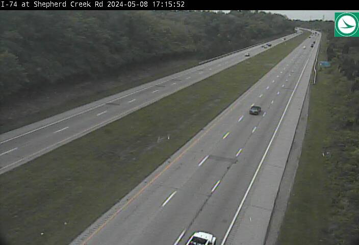
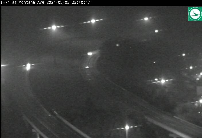
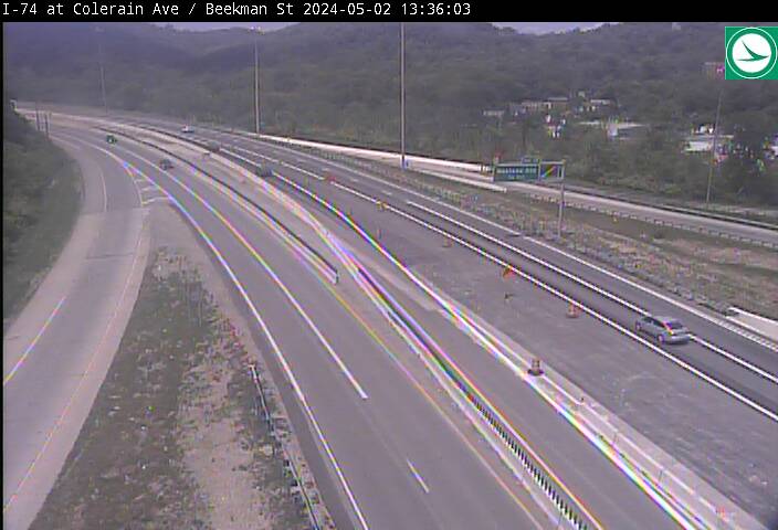
I-74 (West Side) (11 cameras) — East-west interstate on Cincinnati’s west side
I-74 at Morgan RdI-74 at Wesselman RdI-74 at I-275 NI-74 at Harrison AveI-74 East of Harrison AveI-74 at Haft RdI-74 at North Bend RdI-74 at Shepherd Creek RdI-74 at Montana AveI-74 at Colerain Ave / Beekman St (East)I-74 at Elmore St
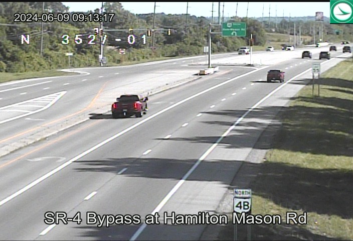
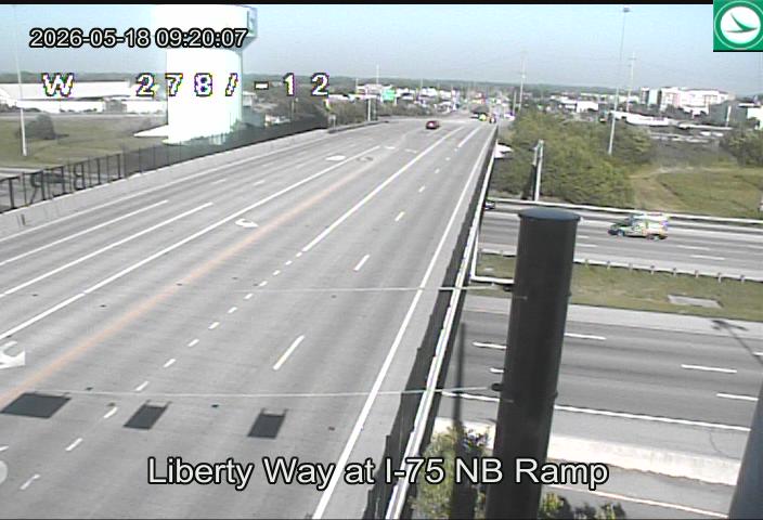
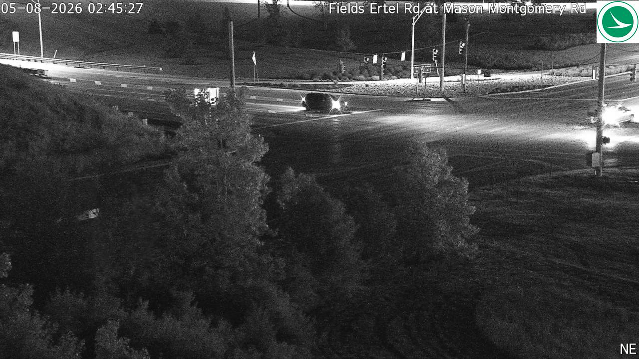
US-22 / SR-48 (Northeast Suburbs) (30 cameras) — Mason, Lebanon, and the northeast suburban corridor
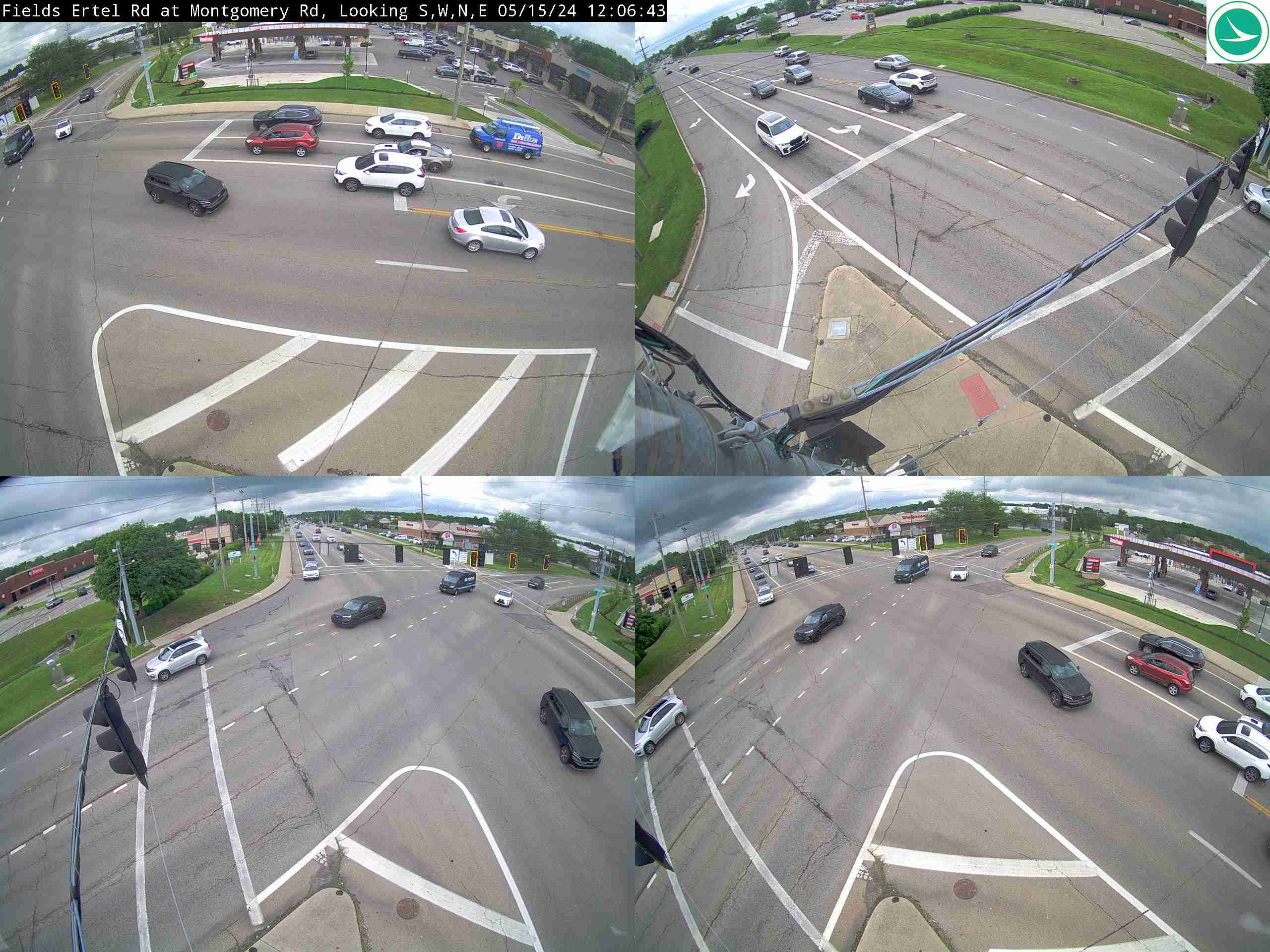
SR-4 Bypass at Hamilton Mason RdSR-562 at East of Montgomery RdLiberty Way at I-75 SB RampD08-Signal Liberty Way at I-75 NB RampUS-22/3 at Cornell RdUS-22 at Vintage Club BlvdMontgomery Rd at Harper PointUS-22 at Kemper RdUS-22 at Calumet Way/Appleseed DrFields Ertel Rd at Escort Dr / I-71 SB RampFields Ertel Rd at Mason Montgomery RdMason Rd & Montgomery RdMason Montgomery Rd & I-71 SB Off Ramp/Escort DrMason Montgomery Rd & Parkway DrMason Montgomery Rd & Irwin Simpson RdMontgomery Rd at Enyart RdUS-22/3 at Union Cemetery RdFields Ertel Rd & Union Cemetary RdFields Ertel Rd & Montgomery RdUS-22 at Green Arbors LnMontgomery Rd at Crestview DrMontgomery Rd at The Village DrUS-22/3 at Townsley DrUS-22 at Columbia RdUS-22/3 at Landen DrUS-22/3 at Willow Pond BlvdSR-48 at Dwire RdUS-22/3 at SR-48SR-48 at Grandin RdSR-48 at Ridgeview Ln
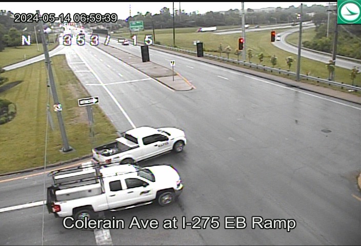
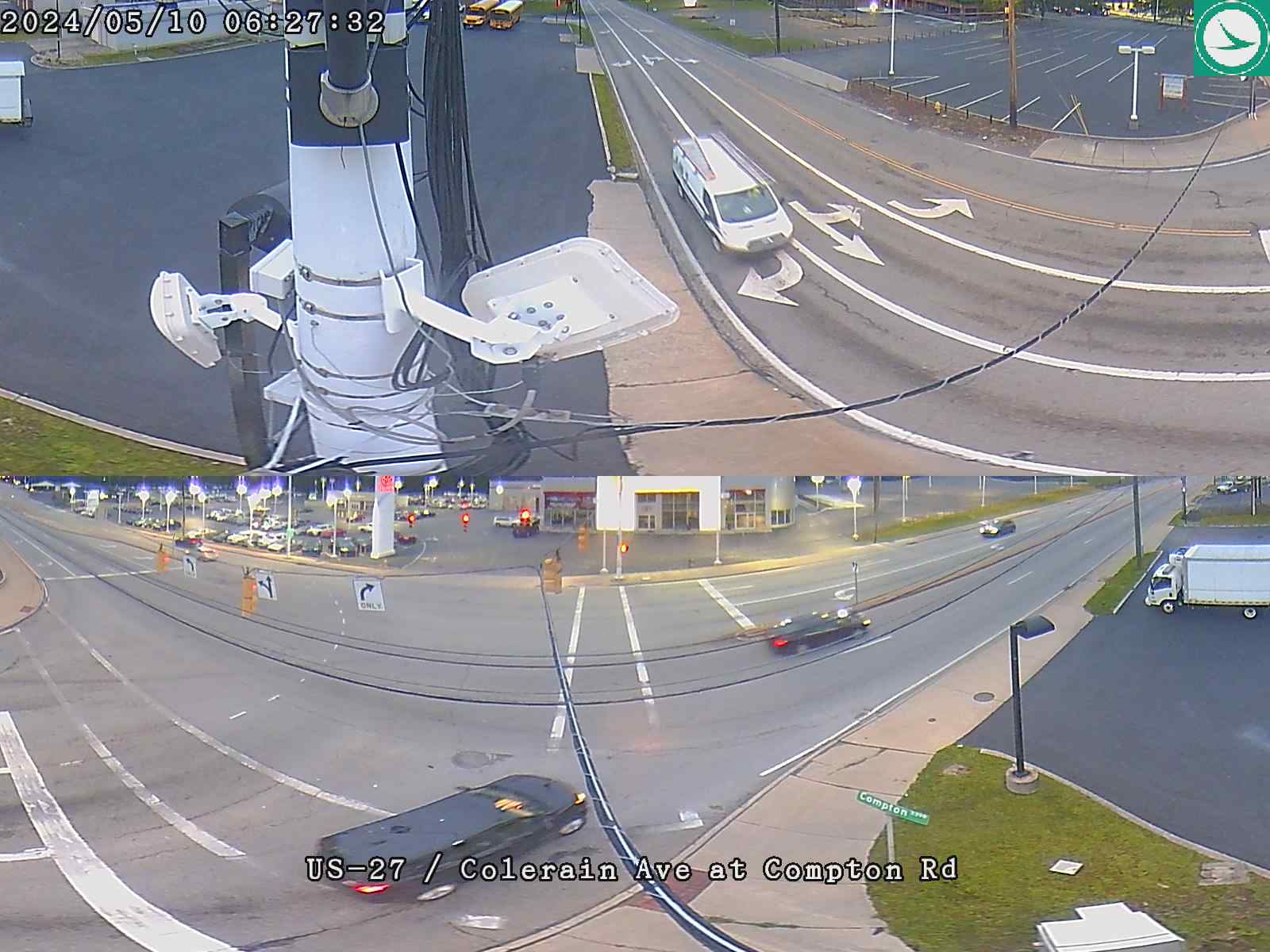
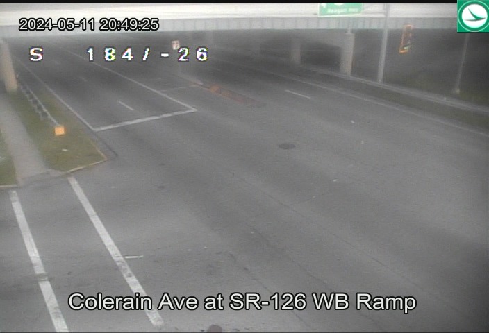
US-27 / Colerain Ave (Northwest Corridor) (23 cameras) — Colerain Township and the northwest corridor
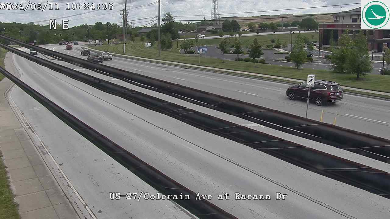
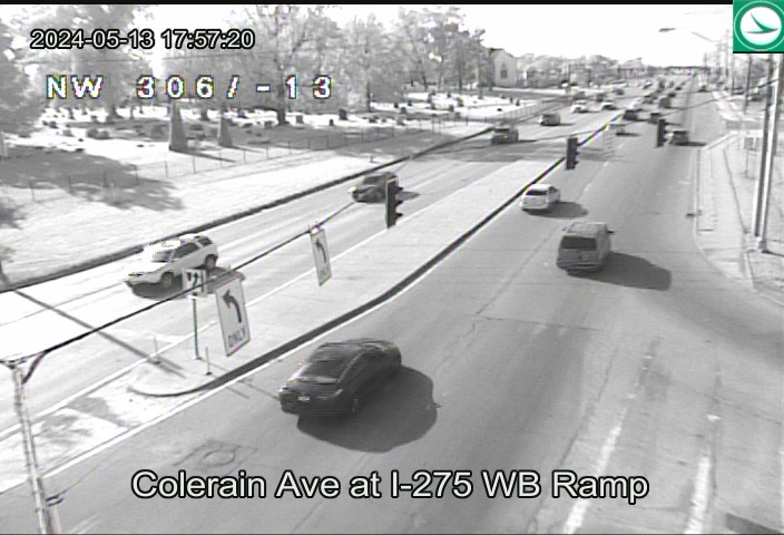
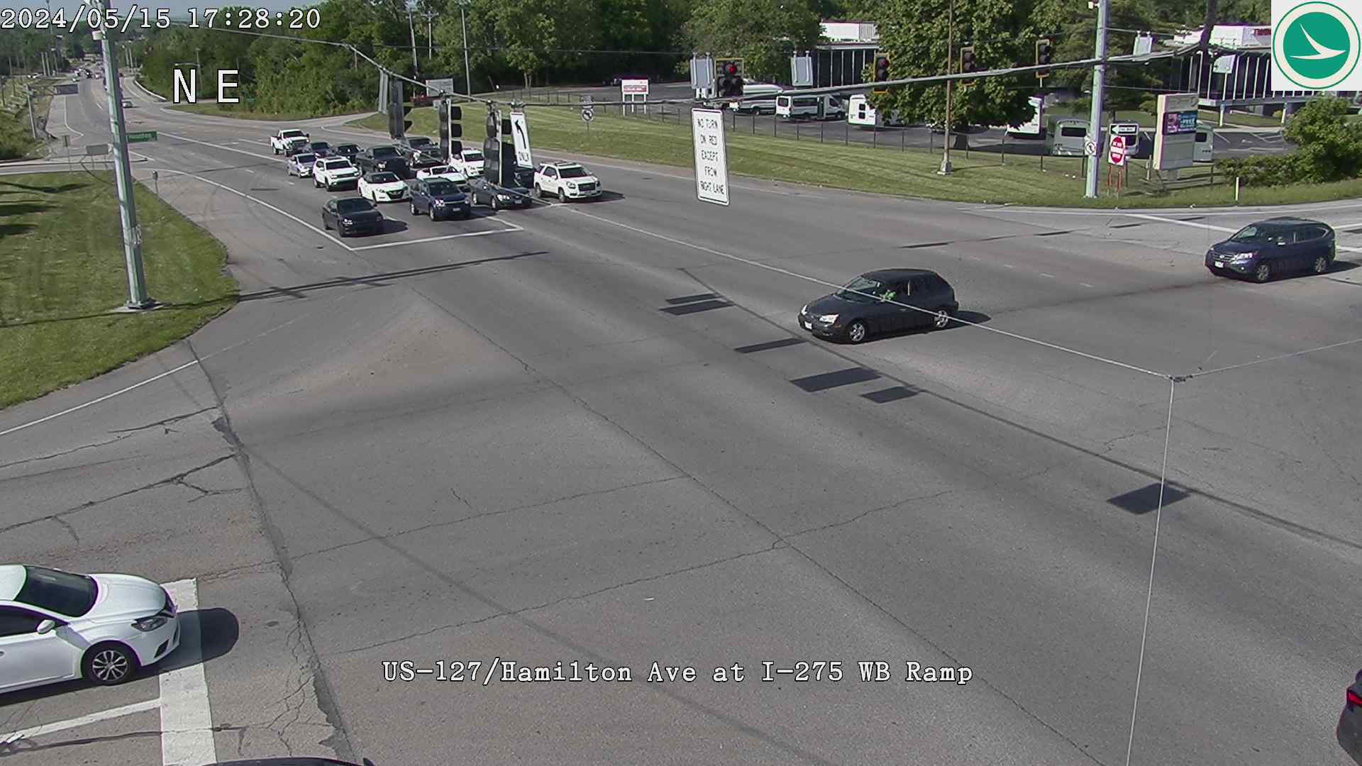
US-27 at New London RdUS-27/Colerain Ave at Struble RdUS-27/Colerain Ave at Raeann DrUS-27/Colerain Ave at Dry Ridge RdColerain Ave at I-275 WB RampColerain Ave at I-275 EB RampUS-27/Colerain Ave at Stone Creek BlvdUS-27/Colerain Ave at Redskin DrColerain Ave at Springdale RdUS-27/Colerain Ave at Marshall SquareUS-27 at Mall DrUS-27/Colerain Ave at Commons CircleUS-27 at Roundtop RdUS-27 at Compton RdUS-27/Colerain Ave at Poole RdUS-27 at JosephColerain Ave at SR-126 WB RampColerain Ave at SR-126 EBUS-27 / Colerain Ave at South of SR-126US-27 / Colerain Ave at Galbraith RdUS-27 at Banning RdUS-127 / Hamilton Ave at I-275 EB RampUS-127 / Hamilton Ave at I-275 WB Ramp
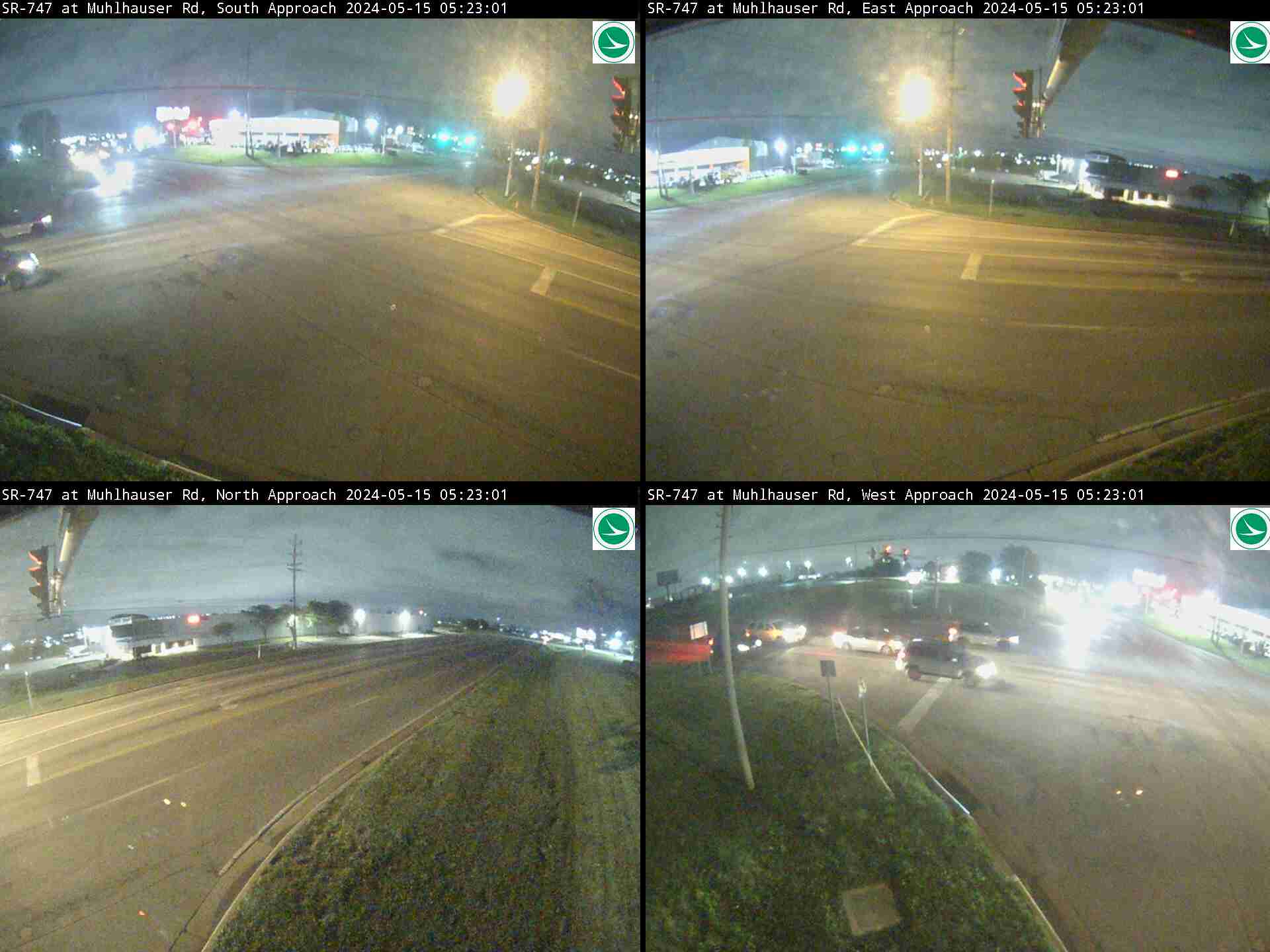
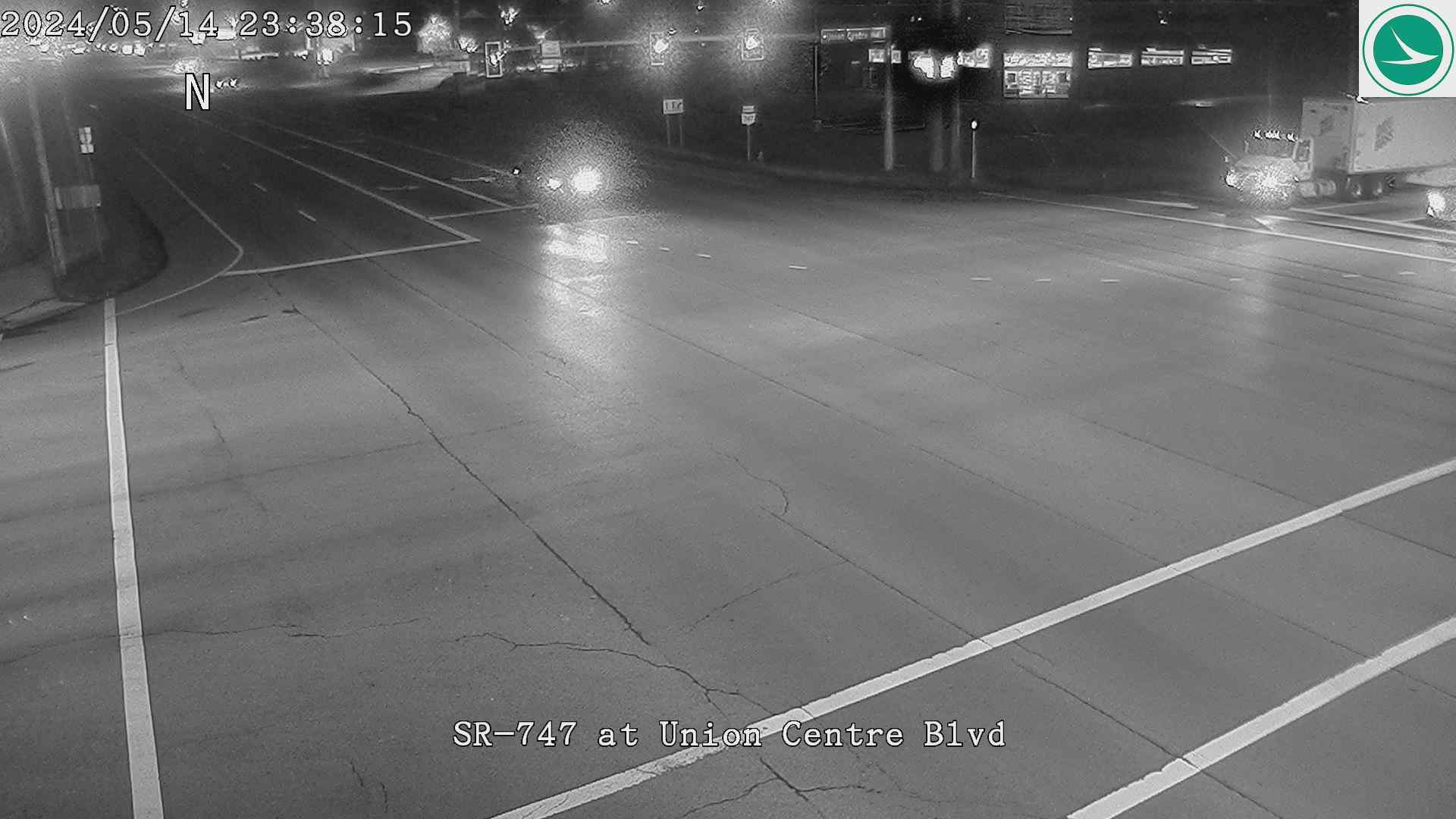
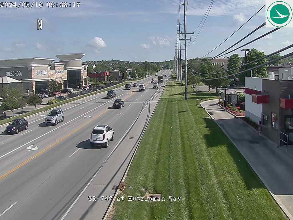
SR-747 / SR-4 (Butler County) (11 cameras) — Liberty Township, West Chester, and points north
SR-4 Bypass at SR-129 EB RampSR-4 Bypass at SR-129 WB RampSR-4 at SR-4 Bypass (Northern Junction)SR-747 at Muhlhauser RdSR-747 at Port Union RdSR-747 at Union Centre BlvdSR-747 at Smith RdSR-747 at Hutzelman WaySR-747 at Tylersville RdSR-747 at SR-129 EB RampSR-747 at SR-129 WB Ramp
(City of Cincinnati) Second St at Elm St(City of Cincinnati) Third St at Vine St(City of Cincinnati) 3rd St at Sycamore St(City of Cincinnati) Eggleston Ave at Pete Rose WaySR-562 at East of I-75SR-562 at Paddock RdSR-562 at West of Reading RdKennedy Ave at I-71 NB Ramp
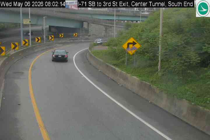
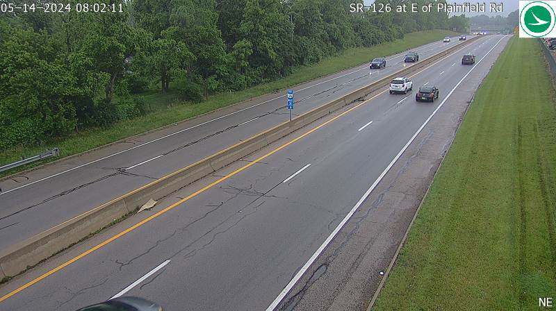
Other Area Cameras (11 cameras) — Additional cameras in the Cincinnati metro area
SR-128 at School RdI-71 SB, West Tunnel, North EndI-71 SB, West Tunnel, South EndI-71 SB to 3rd St Exit, Center Tunnel, North EndI-71 at US-50 (Lytle Tunnel)I-71 NB, East Tunnel, North EndI-71 SB to 3rd St Exit, Center Tunnel, South EndI-71 SB to Reading Rd RampSR-126 at E of Plainfield RdI-71 SB Ramp at SR-126SR-126 at Loveland Madreira Rd
Camera feeds provided by the Ohio Department of Transportation via OHGO. Images refresh automatically. Some cameras may be temporarily unavailable due to maintenance or weather conditions.
×
(function() {
// Track which images are visible using IntersectionObserver
var visibleImgs = new Set();
var observer = new IntersectionObserver(function(entries) {
entries.forEach(function(entry) {
if (entry.isIntersecting) {
visibleImgs.add(entry.target);
} else {
visibleImgs.delete(entry.target);
}
});
}, { rootMargin: ‘100px’ });
// Observe all camera images (including those in collapsed sections)
function observeAll() {
document.querySelectorAll(‘.traffic-cam-grid img’).forEach(function(img) {
observer.observe(img);
});
}
observeAll();
// Re-observe when a details section is toggled open
document.querySelectorAll(‘.wp-block-details’).forEach(function(details) {
details.addEventListener(‘toggle’, function() {
setTimeout(observeAll, 50);
});
});
// Only refresh images currently in the viewport
function refreshVisible() {
var ts = Date.now();
visibleImgs.forEach(function(img) {
var src = img.getAttribute(‘src’).split(‘?’)[0];
img.setAttribute(‘src’, src + ‘?t=’ + ts);
});
}
setInterval(refreshVisible, 30000);
// Lightbox
var lb = document.getElementById(‘camLightbox’);
var lbImg = document.getElementById(‘camLightboxImg’);
var lbCap = document.getElementById(‘camLightboxCaption’);
var lbClose = document.getElementById(‘camLightboxClose’);
document.addEventListener(‘click’, function(e) {
var img = e.target.closest(‘.traffic-cam-grid img’);
if (img) {
e.preventDefault();
var src = img.getAttribute(‘src’).split(‘?’)[0];
lbImg.setAttribute(‘src’, src + ‘?t=’ + Date.now());
var caption = img.closest(‘figure’).querySelector(‘figcaption’);
lbCap.textContent = caption ? caption.textContent : ”;
lb.classList.add(‘active’);
lb._interval = setInterval(function() {
lbImg.setAttribute(‘src’, src + ‘?t=’ + Date.now());
}, 30000);
}
});
function closeLightbox() {
lb.classList.remove(‘active’);
if (lb._interval) clearInterval(lb._interval);
lbImg.setAttribute(‘src’, ”);
}
lbClose.addEventListener(‘click’, closeLightbox);
lb.addEventListener(‘click’, function(e) {
if (e.target === lb) closeLightbox();
});
document.addEventListener(‘keydown’, function(e) {
if (e.key === ‘Escape’) closeLightbox();
});
})();